Residents of the inland valleys and lower desert regions are bracing for a surge in temperatures as forecasters at the National Weather Service in San Diego signal a heightened heat risk. According to NWS San Diego, inland areas, including the Inland Empire and San Diego County deserts, could see temperatures 10 to 15 degrees higher than Monday's, cautioning that the highest heat risk is to be expected on Saturday, June 22nd for the Inland Empire, and Sunday, June 23rd for the San Diego County deserts.
Shifting weather patterns are to thank for the sweltering days ahead, with high pressure to the south ushering in warming from Friday through the weekend. "High pressure to the south is expected to bring warming for Friday and Saturday with not much change for Sunday", reported the Area Forecast Discussion from NWS San Diego. In the deserts, temperatures could remain around 5 to 10 degrees above average into the middle of next week, while coastal and valley regions might see a few degrees above average.
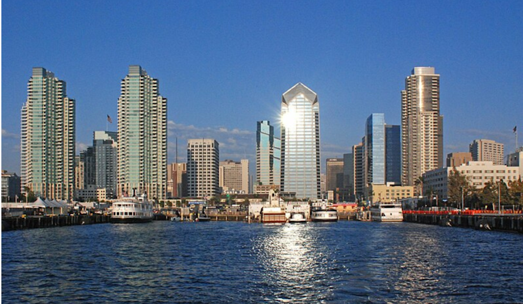
The city's coastal communities can expect a reprieve from the heat thanks to the persistent marine layer. Forecasters indicate that night and morning low clouds should spread into some of the inland valleys, maintaining the cooler temperatures typical of coastal areas. This climatic curtain will keep highs near the coast in the upper 60s, while inland valleys can anticipate mid to upper 80s, as cited by NWS San Diego.
For those with outdoor plans, the extended forecast indicates that classic June gloom will give way to largely sunny afternoons following morning cloudiness. Temperatures are projected to stay reasonably stable over the next few days, with coastal highs hovering around the 71 mark, inching toward 77 by Sunday, before recoiling slightly to 75 by Monday. Meanwhile, marine activities are poised to proceed without interruption as no hazardous marine weather conditions are expected through Saturday.
The heightened temperatures demand precautions from residents, with the NWS urging awareness of the increased heat risk for sensitive groups and advising on measures to mitigate the effects of the imminent sizzle. As the land warms under the southwestern sun, the dance of the marine layer along the coastline will offer its temporary shield, a meteorological pas de deux anticipated to play out against this backdrop of rising mercury.


