The National Weather Service in Greenville-Spartanburg issued a Hazardous Weather Outlook early this morning for the greater Charlotte area. As residents of Charlotte and surrounding regions wake up to overcast skies, meteorologists are forecasting a clammy day ahead with humidity levels pushing 90%. While the temperature hovers at a mild 75°F as of the last update, conditions are set to become less predictable as the day progresses.
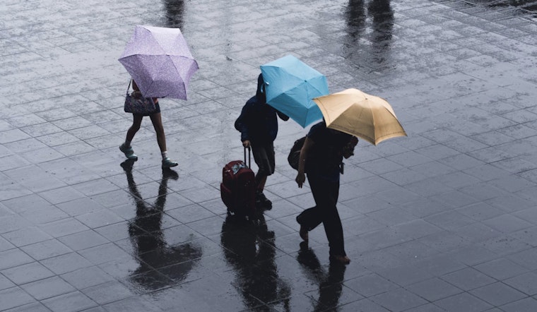
Today's forecast suggests that showers, with the possibility of thunderstorms, are likely before 11am. Following a brief potential respite, the likelihood of showers and thunderstorms intensifies after 5pm. The National Weather Service cautions that with the chance of precipitation standing at a resolute 70%, there could be new rainfall amounts between a half and three quarters of an inch. Such downpours may swiftly lead to more than just soaked sidewalks and glistening greenery--they harbor the potential to escalate, rapidly to confront urban areas and streams with the imminent peril of flash flooding. Residents are advised to remain vigilant, especially since the already saturated grounds are likely to poorly accommodate additional rainfall.
Looking towards tonight, the outlook doesn’t much improve. Meteorologists estimate a 50 percent chance of continued showers and thunderstorms, mainly before 1am, accompanied by patches of fog that may reduce visibility significantly. Although winds should remain tame, calm even, and new rainfall amounts are expected to be less than a tenth of an inch, thunderstorms could potentially contribute higher amounts.
The upcoming days offer little reprieve, with forecasts predicting varying chances for showers and thunderstorms. Friday carries a 60% chance of rain with similar conditions through the weekend. It isn't until next Monday that we see a slight uptick in temperature, reaching a high near 84, though the encircling clouds obstinately persist. Through this pattern we see, almost like clockwork—a daily dance of partly sunny skies disrupted by a 30 percent to 50 percent chance for showers and thunderstorms, according to the detailed forecast provided by the National Weather Service.
The Hazardous Weather Outlook stresses the primary threats are from cloud-to-ground lightning and torrential rainfall leading to flash flooding. Residents in northeastern Georgia, piedmont and western North Carolina, and upstate South Carolina should prepare for similar conditions. The National Weather Service's call for vigilance is clear—as summer storms present themselves with little warning, and the threats they pose should be taken seriously by all those in their potential path.


