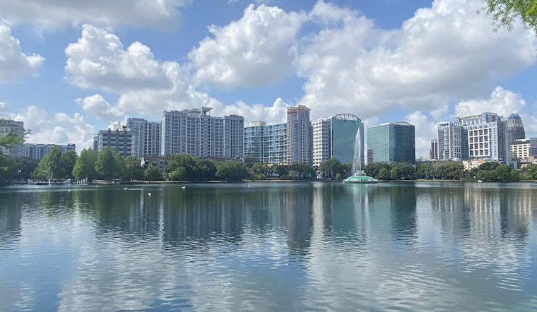
As the scorching heat maintains its grip on East Central Florida, the National Weather Service in Melbourne advises residents to brace themselves for another wave of sweltering temperatures and thunderstorms. According to the National Weather Service's latest advisory issued at 445 AM EDT on July 16, the Orlando area is expected to see afternoon highs climbing into the low to mid-90s with "peak heat indices reaching 100 to 107." The region, accustomed to the warmth, is now to endure elevated HeatRisk levels classified as Moderate to Major over the coming days.
Thunderstorms remain a persistent part of the forecast, with an up to 70 percent chance near the I-4 corridor. The storms, capable of producing frequent lightning strikes, wind gusts of 40 to 50 mph, and heavy downpours may lead to localized flooding, especially in low-lying and poorly drained locales. Residents are advised to remain vigilant and to prepare to quickly adjust travel plans as conditions change. Boaters, too, should be aware of isolated to scattered showers and storms primarily during the late evening and overnight hours, as indicated by the National Weather Service.
For those looking for a reprieve on Wednesday, a band of drier air might just provide some mild relief, particularly south of Orlando and Cape Canaveral. Despite the drier air and a lowering of thunderstorm probabilities, the mercury isn’t expected to show much mercy. The forecast retains a 20 to 30 percent chance of rain, reminding us that the respite from the heat and humidity is yet fleeting at best.
The later part of the week does not promise much change, with the National Weather Service projecting increasing moisture late this week and into the weekend to sustain high coverage of showers and storms across the interior. Those planning outdoor activities should take heed to stay hydrated and seek shade regularly, as HeatRisk will potentially reach Extreme levels in parts of Lake, Orange, and Seminole counties from Thursday through Saturday.
At sea, conditions remain favorable for boating off the local Atlantic waters under the influence of an area of high pressure across the western Atlantic. The seas are expected to remain between 2 to 3 feet and while winds may gain some strength, they should not exceed 15 knots as the sea breeze influence strengthens.
As the temperature game plays on, the National Weather Service reminds us that staying informed is key to staying safe in such sizzling conditions. For more detailed weather information and updates, visit the National Weather Service website.


