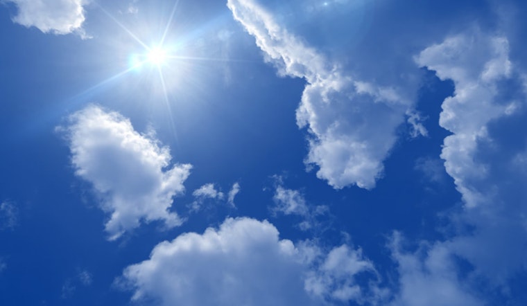
As Sacramento braces for a sweltering week ahead, the National Weather Service is cautioning locals about a persistent heat wave. Triple-digit temperatures are expected to sear the Northern Sacramento Valley today, and this sizzle will spread across most of the Sacramento Valley by tomorrow and Friday. According to the NWS Sacramento report, "Heat risk remains moderate through this period." So grab those fans and stay hydrated, Sacramento – it's going to be a hot one.
The forecast, however, is not without a small respite. An onset of monsoonal moisture is anticipated to bring about some cloud cover and a chance of showers, along with possible thunderstorms, primarily over the higher elevations of the Sierra Nevada beginning Friday. But don't expect the potential precipitation to quench all flames; the NWS warns, "given dry fuels, new fire starts could result from any lightning strikes outside main precipitation cores." With existing fires still burning, locals in affected areas should remain alert for local smoke or haze disrupting visibility.
Looking towards the weekend, the weather pattern appears to be shifting, but only slightly. "Bulk of moisture looks to push east of the CWA Saturday afternoon as midlevel flow becomes more SWly," the NWS predicts. While the high-level cloud cover might shield us from the sun, don't be fooled – overnight lows on Friday could stay uncomfortably high, making it a challenge to cool down even after sunset.
In the extended forecast, which stretches from Sunday through Wednesday, it seems there is no escape from the heat on the horizon. The Central Valley is squeezed between an upper-level low pressure to the northwest and a high-pressure system centered over the Desert Southwest, which means more hot days ahead. Though "heat risk remains mainly moderate," everyone should be prepared for more triple-digit days, especially in the Central Valley as per NWS. So keep shade close and water closer.
For those with their eyes to the sky, aviation concerns should be minimal, barring some local visibility issues due to haze and smoke from nearby wildfires. "VFR conditions over interior NorCal next 24 hrs except lcl MVFR possible in HZ/FU vcnty of fires," details the NWS advisory. For the rest of us, it's business as usual with the occasional breeze to help temper the relentless sun with surface wind speeds staying "mainly below 12 kts."


