Cleveland's weather pattern is shifting as the trough lingering over northern Ohio and northwest Pennsylvania makes its way out, with a ridge poised to bring a more stable atmosphere to the region. According to the National Weather Service, this change is forecasted to maintain cooler temperatures as an unusually cold air mass hovers over the area due to ongoing low-level cold air advection.
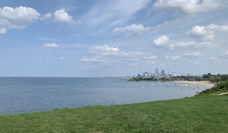
Affected through Wednesday, locals can expect a continuous presence of lake-effect stratocumulus clouds streaming from Lake Erie. "Lake-effect cloud coverage is expected to be greatest this morning and again late this evening through Wednesday morning," the National Weather Service notes. Despite these conditions, the likelihood of rain remains low at 20% for isolated and very light lake-effect showers, mainly affecting areas south of Lake Erie through early evening.
As conditions settle throughout the week, the weather outlook will gradually improve. Come Friday, temperatures are projected to bounce back to near-normal figures, bringing a semblance of reprieve after a spell of cooler weather.
Over the weekend, forecasts suggest establishing a fairly steady-state synoptic pattern with a strong presence of surface high pressure along the east coast. "Above normal temperatures are expected areawide Saturday through Monday (and probably beyond)," according to the National Weather Service Cleveland, OH. Even with a possible weak shortwave that may pass, there is low confidence in any significant precipitation, maintaining probabilities of 5-15%.
Regarding aviation and marine interests, the prevailing conditions into Wednesday will see mainly VFR because "Scattered to widespread lake-effect stratocumuli continue to stream generally S’ward from Lake Erie through 12Z/Wed." As for Lake Erie, the conditions are improving after the peak wind speeds, and the small craft advisory and beach hazard statement have been updated to reflect this. The Nationwide Weather Service adds that with the ridge building, we'll see a continued betterment of conditions across Lake Erie on Wednesday and Thursday.


