In a shift from the recent heat wave, the National Weather Service (NWS) in Sacramento brings news of cooler days ahead for NorCal residents. The NWS forecast, published early this morning, indicates that the region can anticipate "cooler temperatures and increasing humidity, with periods of breezy onshore winds this week." For those who have been yearning for a respite from the heat, it seems the weather gods are finally listening.
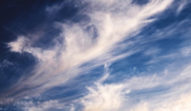
The current onshore flow will help to steadily cool the valleys, making it possible to actually enjoy the outdoors without the oppressive heat. The greater Sacramento metropolitan area clocked in temperatures "in the low to mid 60s," and they're expected "to get into the high 50s in areas later in the early morning," according to the NWS Sacramento forecast. This news comes alongside stunning natural displays; residents near Redding and as far south as Chico reported views of the Northern Lights and portions of the Perseid meteor shower last night, a rare treat for the eyes.
Looking toward the end of the week, the NWS emphasizes confidence in a weather pattern that will maintain the cooler-than-average trend. "From late week into next weekend, cluster analysis is showing a high degree of confidence in the expected upper level pattern," the NWS statement detailed. These predictions suggest that a trough developing off the Pacific Northwest coast will keep the heat at bay, with a building ridge over the south-central CONUS reinforcing this cooler pattern into the weekend.
Beyond the welcome drop in temperatures, the forecast also anticipates breezier conditions, particularly as the trough off the coast deepens. "Resultant current probabilities of wind gusts exceeding 25 mph outside of the Delta vicinity do increase to around 20% to 40% on Friday and Saturday," the NWS warns, hinting at a need for caution among those venturing outdoors or with loose items in their yards. Nature's air conditioning seems to be kicking in full force.
For travelers and those with plans that take to the skies, the NWS also notes that VFR (Visual Flight Rules) conditions will prevail over interior Northern California for the next 24 hours. However, there's a note of caution for areas close to the fires, where isolated cases of MVFR (Marginal Visual Flight Rules) visibility due to haze and smoke are possible. Winds in the region will continue to be relatively moderate, but the Delta area can expect stronger southwesterly gusts at times.


