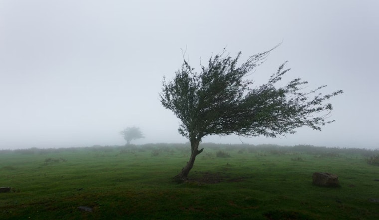
The weekend forecast for Las Vegas is predicting cooler temperatures than usual, accompanied by strong winds, according to the National Weather Service. The weather is being influenced by an unusually deep 558mb trough at 500mb, which is causing the temperature drop and increased wind speeds across parts of Nevada and Arizona. As a result, wind advisories have been issued for areas like Lake Mead and Mohave, where these conditions could affect weekend plans. The National Weather Service reports that "Widespread wind gusts of 30 to 35 mph are expected through the afternoon hours across Lincoln, Clark, and Mohave Counties, with slightly weaker winds further west."
Despite the gusty conditions, temperatures are set to remain several degrees below the expected norm, avoiding the triple digits in all but the lowest elevations along the Colorado River and Death Valley. As for the aviation industry, Harry Reid Airport is predicted to experience similar wind patterns to the previous day, with gusts ranging between 25-30KT expected through the afternoon. On a brighter note, the National Weather Service predicts this cool pattern to quickly start to shift as the new week begins.
Looking ahead, the weather is set to warm up with a 5-7 degree increase on Monday, and an additional 3-5 degrees slated for Tuesday, ushering back normal seasonal temperatures. This change is due to the heights building in the wake of the departing trough. However, forecasters are keeping an eye on a potential cutoff low developing off the SoCal-Baja Coast, which could usher in monsoonal moisture later in the week. "Latest GEFS and EPS
probabilities for 1" PWATs in Las Vegas range from 10-30% on Thursday," according to the National Weather Service.
On the fire weather front, another day of gusty and dry conditions are expected mainly across eastern Nevada and Northwest Arizona, provoking critical fire conditions particularly for Clark and Lincoln Counties. While recent rains in Northwest Arizona have moistened fuels, the strong winds could escalate the risk for new or ongoing fire starts. Relief is in sight though, as decreasing winds and an upward trend in conditions are on the horizon for Sunday and into the next week.


