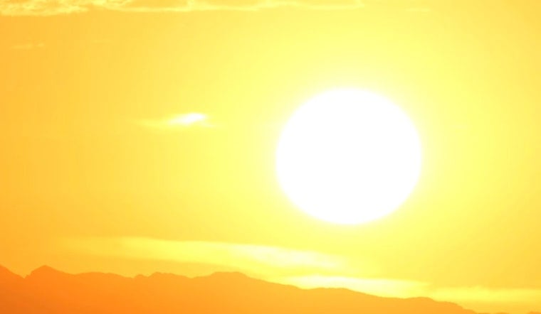
Houston locals brace for the swelter of an incoming heatwave, as forecasts call for temperatures to peak near the century mark. According to the National Weather Service, today's weather in Houston, TX, is expected to be "sunny and hot, with a high near 98," coupled with a 20% chance of showers and thunderstorms post-1pm. The heat index threatens to soar as high as 113, signifying a potential risk for those vulnerable to such oppressive conditions.
With such forecasted highs, the heatwave shows no sign of relenting soon; it’s slated to further intensify. Sunday’s conditions promise "mostly sunny and hot" skies, with the mercury set to rise to near 100 degrees. Moreover, the relentless grip of this thermal siege will tighten come Monday, with temperatures projected to near rise 101. Health officials warn residents to stay hydrated, seek shade, and take extra precautions to avoid heat-related illnesses. Nighttime brings scant relief with anticipated lows around the 80-degree mark, as per the NWS forecast.
Moving east, the weather story shifts dramatically. The Storm Prediction Center warns of turbulent weather patterns. "Scattered severe thunderstorms are possible in parts of Kentucky and the Ohio Valley mainly this afternoon into the early evening," with wind and hail as the primary threats. This tumultuous weather is part of a larger system affecting various regions, from "the Utah region" to "parts of western Oregon/Southwest Washington," where isolated severe storms are also expected.
The Ohio Valley fronts a noteworthy weather narrative, with atmospheric conditions ripe for scattered robust convection, especially come early afternoon. Storms are forecasted to concentrate in a zone of stronger instability — KY/southern OH, bringing with them the risks of wind and hail damage. Cities caught within these tumultuous swaths are advised to diligently monitor weather advisories to thus prepare for potential severe weather events. The situation out west in Utah is similarly threatened by weather disturbances as a well-defined mid-level short-wave troug" approaches, which is expected to perpetuate a strongly sheared environment for developing storms, according to the NWS.


