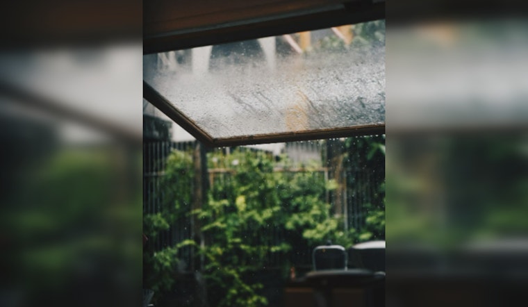
As Houston braces for another warm day, the National Weather Service (NWS) predicts a 40 percent chance of showers and thunderstorms between 2 p.m. and 4 p.m., with a mix of sun and clouds throughout the day. Highs are expected to reach the mid-90s with heat index values soaring to as high as 103 degrees, reminding residents of the sweltering summer heat. Light southeast winds will range from 5 to 10 mph, shifting after midnight as they lighten, according to the Houston Weather Forecast.
As night falls, the sky is set to partially clear with lows hovering around 79 degrees. The weekend promises similar conditions with Saturday maintaining sunny skies and a slight chance of storms in the afternoon. The same southeast winds persist through Saturday night, likely providing some respite from the heat. For those counting, that's a consistent streak of 79-degree nights—a Heat Index Outlook in Houston echoed this temperature trend, noting isolated showers particularly west of I-45.
Good morning SE Texas...It's Friday!
— NWS Houston (@NWSHouston) August 23, 2024
The highs today will generally be in the mid 90s. Isolated to scattered showers & storms can be expected, in particular over areas west of I-45. #TXwx #HOUwx #BCSwx #GLSwx pic.twitter.com/Tuy1krnBPa
Transitioning into Sunday, the chance of rain and thunder heightens to 40 percent, predominantly post 1 p.m., delivering a brief intermission in the mostly sunny skies that dominate throughout the morning. A light east wind will bend through the area at 5 to 10 mph, potentially ushering these storms into the city.
Looking ahead, the NWS Storm Prediction Center has announced a marginal risk of severe thunderstorms across broader regions that exclude Houston but hint at tumultuous weather patterns that could affect broader Texas areas. "Strong to severe storms with severe gusts and possibly some hail are possible across Montana, the Intermountain West and central Rockies southeast Arizona to extreme southwestern New Mexico, and the central and northern High Plains," states the Storm Prediction Center, a concern for neighboring states as well.


