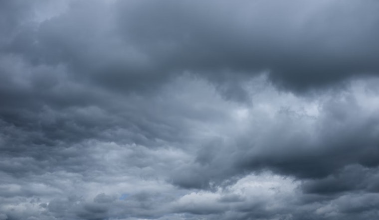
Las Vegas and neighboring regions should brace for a slight uptick in monsoonal moisture today, bringing precipitation chances to the table, as per the National Weather Service Las Vegas report. While northern Arizona, southeastern California's mountains, and southern Nevada might see isolated showers and thunderstorms, the forecast doesn't look promising for a significant downpour due to dry atmospheric conditions. The biggest issue seems to be gusty winds which might accompany the storms, with a risk of dry lightning that adds to the area's fire danger, with relative humidities struggling to edge past 15%.
Tomorrow's forecast suggests a reduction in storm coverage, retreating eastwards, though there remains a 40-50% chance of precipitation in eastern Mohave County, not to forget the slight chances of showers on the mountains of Clark County and in eastern Lincoln County. Meanwhile, a developing low-pressure area near the California coast tomorrow is expected to rack up southerly winds and fire danger again, so it doesn't get too easy for residents of southwestern Great Basin come tomorrow and Monday, that said, the likelihood of impactful wind gusts over 40 mph remains fairly low at 20% or less, as per the NWS discussion.
Moving into the long term, Monday through next weekend, the weather scene shifts as high pressure starts to assert dominance, bringing along drier air and dwindling rain chances, particularly in eastern Mohave County which sits at a slim 20% Monday afternoon. By Tuesday, it's curtains for precipitation as the region dries out for the rest of the week. As the heat cranks up, temperatures are set to soar above normal levels starting Wednesday, carrying on through the weekend, potentially toeing the line into "High" or "Extreme" for most valley locales outside of the southern Great Basin and Owens Valley.
On the aviation side of things, pilots should expect a typical diurnal wind pattern with speeds remaining below 10 knots for Harry Reid International but should keep an eye out for an uptick in winds this evening due to outflows from Arizona storms entering southern Nevada; showers and thunderstorms, while likely around high terrains, should stay clear of the terminal vicinity, for the rest of southern Nevada, northwest Arizona, and southeast California's airports – similar diurnal winds are forecasted with fewer concerns outside of potential afternoon and evening convection, primarily around northwest Arizona’s KEED and KIFP and gusty winds that may affect operations including Las Vegas Valley terminals, says the National Weather Service.
Finally, the National Weather Service encourages spotters to stay observant and report any significant weather happenings or impacts, staying aligned with standard operating procedures.


