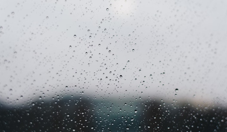
Las Vegas is bracing for continued above-normal temperatures coupled with an increased chance of isolated showers and thunderstorms. The current weather pattern, due to persistent high pressure over the Southwestern US, suggests that certain areas south and east of the I-15 corridor will see more of this activity through the weekend, as the National Weather Service in Las Vegas reports.
The conditions today and tomorrow are expected to foster monsoonal convection, with precipitable water values around 150% of the normal for this time year. "These showers and thunderstorms will move off the higher terrain, collapse, and produce gusty outflow winds which will propagate out, helping to kick off new convection as they go," the National Weather Service explained. Motorists in central Mohave County and those venturing to Lake Mohave and Lake Mead should prepare for potential hazards from strong winds and reduced visibility due to blowing dust.
Tonight's forecast challenges the typical pattern we see during monsoon season, high-resolution models show that outflow-driven convection could continue into the nighttime. However, there is a possibility that cloud coverage might limit daytime heating, which is critical for thunderstorm development. Should these clouds linger, they could dampen the chances of convection.
Looking ahead to this weekend, thunderstorm chances continue with the highest moisture content nestled along and southeast of the I-15. "The upper level trough will continue to move into the West Coast the beginning of next week with long range models in decent agreement that the trough will move into California with only slight discrepancies in its strength," the National Weather Service statement noted. This shift is expected to purge the moist air and confine thunderstorm chances to specific areas, but until then, people in eastern San Bernardino and Nye counties as well as Clark, Lincoln, and Mohave are advised to remain weather-aware.
As for aviation impacts, Harry Reid International Airport is expected to experience light and variable winds today with a 10-20% chance of storms. "Outflow from this activity may induce sudden wind shifts with gusts of 15-25 knots," added the National Weather Service. A variety of solutions regarding storm coverage and intensity leave some uncertainty for airports north and east of Las Vegas Valley, which could see significant outflow winds later tonight.
According to the National Weather Service, spotters are being encouraged to report any significant weather or impacts as the monsoonal weather conditions evolve. Residents and travelers are urged to stay updated on the latest weather predictions to avoid being caught off guard by the summer storms.


