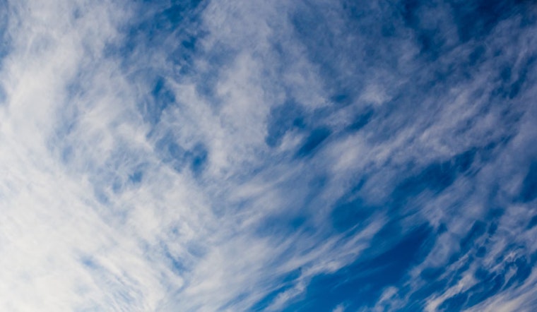
With the typical arid clarity that marks the Nevada skies, Las Vegas area residents can anticipate a stretch of dry and breezy conditions that'll run through tomorrow. According to a report from the National Weather Service Las Vegas NV, temperatures are staying near normal for the time being. But don't get too comfortable, because starting this weekend, some counties in the region are looking at the return of monsoonal moisture, bringing chances for those quintessential afternoon showers and thunderstorms.
In the greater scheme, places like Mohave, Lincoln, and Clark counties are the lucky ducks slated for rainfall this weekend, potentially providing a respite from persistent dryness. "This will lead to thunderstorm chances returning to Mohave, Clark, and Lincoln counties both Saturday and Sunday," outlined in the National Weather Service's latest forecast. Yet the western sectors won't be so fortunate. The persistent dry air paired with south to southwest winds, gusting to around 30 mph at times, is setting the stage for elevated fire risks—a concern that has been already flagged as flirting with Red Flag Warning criteria by previous shifts. A coordination call planned for later in the day aims to address the potential for warnings.
Those flying in and out of Harry Reid should expect south-southwest winds into the evening, and yes, frequent gusts around 20 knots are on the menu from 18Z-03Z. "Skies will remain clear," says the National Weather Service, indicating smooth sailing for aircraft overhead, sans atmospheric drama. Across the expanse of southern Nevada, northwest Arizona, and southeast California, regional winds will continue to be a factor, with the usual gust patterns peaking during those hot afternoon hours.
The long-term forecast is less clear-cut, entangling forecasters in a web of possibilities as they attempt to pin down the trajectory of that monsoonal moisture into next week. While the European Centre for Medium-Range Weather Forecasts (ECMWF) is predicting a westward shift in the upper-level area of high pressure, potentially leading us back into oven-like temperatures, the Global Ensemble Forecast System (GEFS) has its bets on the moisture sticking around longer, especially in northwestern Arizona and the mountains of southeastern Nevada. "Confidence will increase as we approach the weekend," the NWS forecast discussion notes, highlighting the very nature of weather prediction—a blend of science, patterns, and an ever-attentive eye on atmospheric shifts.


