Las Vegas and its surrounding areas are bracing to slowly maintain above-normal temperatures as the persistent high pressure system continues to dominate the weather landscape over the Southwestern US. According to the National Weather Service Las Vegas NV, while daytime highs may cool slightly, the influx of moisture is set to fuel afternoon and evening storms, particularly across eastern Mohave County. Southern Nevada's evening respite from scorching temperatures was short-lived as dew points unexpectedly rose overnight, making for a stickier morning.
Residents experienced gusty winds later in the day with outflow from thunderstorms in northern Arizona, which transported dust and moisture into the region. As a consequence, those residing in Las Vegas felt the muggier conditions kick in rapidly, with the NWS reporting a significant increase in dew points from 38 to 58 degrees in a matter of hours. This increase is expected to "stick around through tomorrow morning." While Major HeatRisk values have seen a decrease, Minor to Moderate risks persist for much of the forecast area. Showers and thunderstorms are to slightly expand to additional counties tomorrow, potentially including eastern San Bernardino and Clark counties, and lingering moisture under the ridge is poised to fuel these sporadic weather events through the weekend.
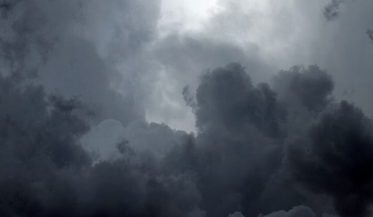
The weather discussion also points to a complex interaction between monsoonal moisture and an inverted trough towards the end of the week, raising concerns for heavy rainfall and flash flooding. While the models currently show a low probability for an extreme precipitation event, localized heavy rains could still occur, bringing significant impact to certain areas. "Any storms that develop will have the potential to be efficient rain producers with the potential to result in flash flooding," the NWS indicates. This brewing storm potential places a spotlight on the need for regional preparedness and vigilance.
Meanwhile, aviation forecasts for Harry Reid International Airport predict southerly outflow breezes and suggest a "60% chance" especially in the afternoon hours for gusts reaching 15-18 knots, as per the NWS. Pilots should anticipate a transition to southwest winds between 00z and 02z. Though less than a 10% chance of rain or storms is predicted, flight conditions are expected to remain largely VFR, with only a few to scattered clouds at or above 12,000 feet. Spanning across Southern Nevada, northwest Arizona, and southeast California, similar VFR conditions and breezy winds are anticipated for other terminals in the region. Such predictions underscore the importance for pilots to remain agile and attentive to the rapidly changing desert skies.


