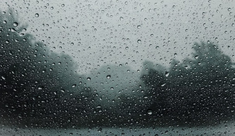
As the Sacramento area braces for a pronounced weather system descending from the Pacific Northwest, residents are advised to prepare for a range of weather disturbances. According to the National Weather Service, an upcoming front is expected to bring cooler temperatures, gusty winds, and rain showers, with the potential for thunderstorms as well through early Saturday. Particularly concerning is the issued Flash Flood Watch for the Park Fire Burn Scar area, effective from Friday 11 AM to Saturday 11 AM due to the risk of debris flows.
With the front approaching, south to southwesterly winds are anticipated to gradually increase today, possibly gusting between 20 to 35 mph— and even stronger over the high Sierra. The forecasted thunderstorm activity on Thursday evening targets mainly Shasta and western Tehama counties. The National Weather Service also notes that there's a chance of "accumulations of less than 1.00" of snowfall accumulations along the Sierra above 8000 feet, though confidence remains low with only a 10-20% probability in such precipitation totals.
As the system unfolds on Friday, Shasta county may experience early showers, with precipitation probabilities increasing throughout the day. "Thunderstorm probabilities of 15-30% stay north of 1-80," the National Weather Service cautions. By Saturday, any lingering thunderstorms are expected to taper off, primarily confining potential showers to the Sierra crest.
Looking ahead to Sunday and beyond, the region anticipates a significant shift, with a trough axis passing over the Great Basin and bringing gustier northern winds through the valley. This change will not only disrupt the unsettled weather patterns but is set strongly to increase temperatures to the upper 80s and low 90s. The early part of next week is primed to experience an even more pronounced warming trend, returning moderate HeatRisk to local communities, with high temperatures possibly breaching the 100-degree mark.
For those traveling or needing to secure outdoor items, the impact of the weather system on aviation is also crucial. The National Weather Service states, "VFR conditions prevail next 24 hours across interior NorCal," with a low probability of reduced visibility due to lower cloud ceilings. Pilots should particularly note the possible gusts up to 30 knots beginning Thursday afternoon through evening, with increased chances of showers and potential thunderstorms primarily north of Interstate 80 from late Thursday into Friday.


