As the high pressure system strengthens over Southern California, residents see a rise in temperatures and the likelihood of thunderstorms, particularly in the inland and mountainous areas. The National Weather Service Forecast Office in San Diego reports today's inland temperatures could reach sweltering highs ranging from the mid 90s to 105 degrees in parts of the Inland Empire and an even more torrid 107 to 113 degrees for the lower desert regions. Coastal areas remain considerably milder.
Along with the heat, the mountains and deserts have a chance of afternoon and evening thunderstorms today, a pattern expected to continue through the weekend. Despite the heat pushing several degrees above the seasonal average today, a cooling trend starting Sunday brings temperatures back to more expected levels. With their arrival along the Orange County coast this morning, low clouds uncover the sun's rage but remain several miles off the San Diego County coast, according to the Area Forecast Discussion.
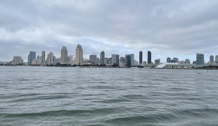
Mariners will find solace as no hazardous marine conditions are projected through Tuesday. The marine forecast promises calm seas, contrasting the dramatic weather predictions for land dwellers.
By Monday, Southern Californians should anticipate a respite from the unseasonable highs as temperatures are forecasted to stabilize near normal averages. Thunderstorm activity is also expected to cease as the week progresses, with clearer skies on the horizon. The National Weather Service's long-term outlook hints at a dry and cooler end to the week. Yet, the certainty of this forecast is shrouded in the typical unpredictability of atmospheric patterns as the long wave trough near the West Coast plays its hand. Always shifting, the sky above promises variability as sure as the ground beneath stands firm.


