Residents across Southern California are experiencing a blistering heatwave that is set to continue into the early parts of the week, as reported by the National Weather Service's San Diego forecast office. In the low deserts, temperatures are soaring to hazardous levels, reaching highs between 114 and 117 degrees. The high desert will endure similarly high temperatures ranging from 100-105 degrees. On the coast, where conditions remain more moderate, temperatures are predicted to hit the mid-70s to low 80s.
The NWS forecast for Monday promises no respite. Temperatures are predicted to stay around 5-10 degrees above normal, further elevating the already oppressive heat across the region. A Heat Advisory has been spread to encompass various areas, including the Riverside and San Bernardino Mountains below 7000 ft and parts of inland Orange County. While the coast may see patchy fog and low clouds in the mornings, inland regions will be wrestling with oppressive heat.
Relief in minor cooling and a return of monsoonal moisture is expected by mid-week. This may bring about a 15-25 percent chance of afternoon and early evening thunderstorms in the mountains and deserts. This shift could mark the beginning of a temporary downturn in temperatures following the extreme conditions that have prompted Excessive Heat Warnings and advisories in multiple counties.
Despite the expected arrival of some monsoonal moisture, chances for thunderstorms over the mountains remain less than 15 percent for Sunday and Monday, according to the NWS discussion. Skies are predicted to stay mostly clear, with gradual drying and lower thunderstorm probabilities towards the end of the week. The persistent heatwave underscores the larger conversation on climate trends in the region, highlighting the increasing occurrences of extreme weather conditions.
As the heat continues, the NWS has issued Excessive Heat Warnings effective until 11 PM PDT Tuesday for a wide swath, including the Coachella Valley, Inland Empire, and San Diego County Deserts. A Skywarn activation has yet to be requested. Still, weather spotters are urged to report significant conditions, which they remind the public can be crucial for weather assessments and safety advisories.
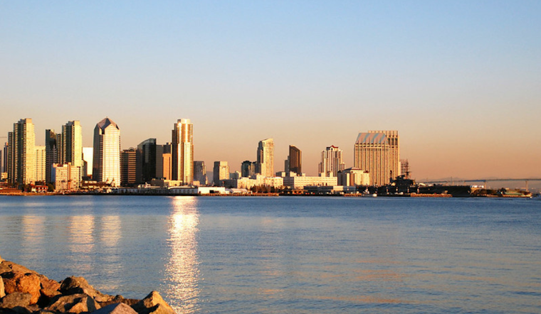
On the marine front, northwest winds will make conditions breezy in outer waters, particularly today and tomorrow afternoons, but no hazardous marine conditions are expected through Friday. Beachgoers are advised to expect patchy fog and low clouds to linger in the coastal areas each late night and morning, which is a standard occurrence amidst California's well-known marine layer phenomenon.


