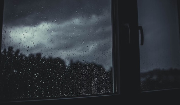
In a weather report released early this morning by the National Weather Service in Sacramento, Californians are being reminded to stay alert as a storm system continues to sweep across the region. According to the National Weather Service, northern parts of the state should expect rain, with isolated thunderstorms possibly causing "brief heavy rain, small hail, and gusty winds." The report also highlights a Flash Flood Watch for the Park Fire Burn Scar area, effective until 7 PM today due to potential debris flows.
Residents north of Interstate 80 have been experiencing scattered showers this morning, and the risk of thunderstorm activity is looking to increase from late morning through the evening. The National Weather Service warns especially those in the northern Sacramento Valley and along the foothills and mountains of the Sierra. With the storm system set to "quickly" move out, a rapid warm-up to near 100 degrees is forecasted into the early part of next week, creating another set of conditions for locals to prepare for.
Transitional weather will be felt come Sunday, breezy and warm, with the National Weather Service highlighting northerly winds through the Valley and northeasterly over the mountains, expecting gusts up to 25 mph. Meanwhile, "Light, breezy afternoon/evening onshore winds return by Monday," followed by a moderate increase in temperatures throughout the Valley and foothills as we head into mid-week.
Looking forward into the week, from Wednesday through Saturday, "not seeing anything too impactful," reports the National Weather Service. A weak trough along the coast and an upper ridge to the north and east suggest average, if slightly warmed, temperatures. There's also a hint of possible monsoon moisture entering into the Sierra towards the end of next week, which may lead to a "slight chance of late-day thunderstorms."
For those with travel plans or responsibilities involving aviation, VFR conditions are expected to prevail for the next 24 hours, except for possible scattered showers north of I-80 until about 02Z Sunday, including "areas of MVFR conditions, and isolated thunderstorms possible 18Z thru about 00Z Sunday." Pilots are advised to be prepared for surface wind gusts from the south to west at 15-30 mph over the mountains through early evening Sunday, as per National Weather Service.
San Franciscans far from the affected areas might enjoy the spectacle of lightning from a safe distance, but it's an entirely different reality for those living within or near the aforementioned zones. Up-to-date information on the situation can be found at the National Weather Service's official website.


