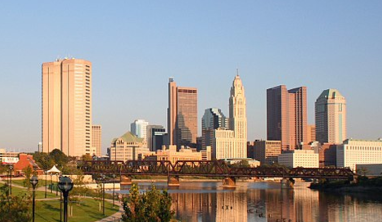
As the Midwest braces for a shift in seasonal weather, forecasters at the National Weather Service (NWS), Ohio, have sent out a beacon of good news: a high-pressure system is expected to grace the Columbus and Cincinnati regions, along with surrounding areas, heralding a period of dry and increasingly warm conditions.
The outdoors will shortly become a more inviting realm for those looking to break free from offices and homes. According to the NWS, Thursday's weather discourse promises "plenty of sunshine," with delightful temperatures set to hover in the mid-70s to lower 80s. Yet the mantle of the night sky will not fail to significantly cool down the terrain, as the mercury is predicted to drop to lows in the upper 40s to mid-50s.
The imminent swell in daylight warmth won't be modest, the NWS notes, with Friday's highs anticipated to outpace Thursday's, potentially climbing into the more sweltering territory of the 80s across the board. The fleeting visit from cirrus clouds may offer a light reprieve from the unabated sun, but with the dry airmass steadfastly in place, the hint of moisture will be sparse at best. Aviation operations, too, are set to operate under auspicious conditions, with forecast predictions indicating that winds will "remain below 10 kt generally out of the northeast."
Looking beyond the weekend and into the enthusiasm of the workweek, the NWS outlines a longer-term forecast where temperatures steadily ascend as the high-pressure ridge from the central US makes a gradual eastward promenade. "Temperatures on Saturday will be back to seasonable values with highs in the mid to upper 80s," and an even more robust increase is expected, with the NWS alerting to the fact that "highs by Monday and Tuesday in the low to possibly mid-90s." However, early risers and night crawlers should still be prepared for that same robust range, dipping to slightly cooler evenings before the daily climb recommences.
While precipitation is notably absent from this forecast narrative, a subtle cautionary undertow suggests that "some weak mid-level energy riding over the top of the ridge may eventually lead to some lower-end chances for pcpn early next week." As the weather system evolves, so does the swathe of possible changes, indicating that "the ridge will begin to break down late in the period," which could result in some precipitation chances if a weak frontal boundary pushes into the Ohio Valley. So, while the outlook means mostly clear skies for residents and travelers in Columbus, Cincinnati, Wilmington, and surrounding areas, there remains the slightest hint of a need to keep an eye on the future skies, just in case.


