For those reveling in the recent wave of balmy weather, the trusty National Weather Service in Cleveland offers insights for the weekend and the week ahead that might require some wardrobe adjustments. The bulletin, dispatched early this Saturday morning, promises a continuation of the high pressure centered near the eastern seaboard to govern our weather through Monday. According to the NWS Cleveland, Ohioans can anticipate temperatures to nudge a few degrees higher from Friday’s pleasantness, with highs ranging from the low 80s in northwestern PA to the mid to upper 80s throughout much of northern OH.
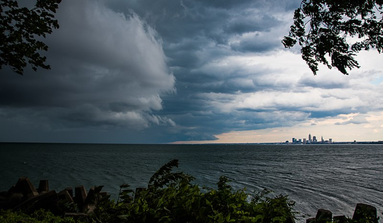
However, there's a slight catch for those up early on Sunday. While most are tucked into their beds, the forecast suggests a low percentage chance of showers riding ahead of a weak shortwave across Lake Erie, possibly reaching as far as Cleveland during daybreak. The shortwave and the surface trough axis will meander south through Sunday, enabling pockets of isolated to scattered convection in the afternoon with daytime heating and destabilization. The NWS Cleveland clarifies these conditions may "support isolated to scattered convection." Severe weather risk remains conditional but on the table, so watch for potential strong downdraft winds associated with the more intense storms.
The conversation among weather enthusiasts might pivot to heat when Tuesday rolls around. NWS projects a heat spike potentially warranting a Heat Advisory, especially in western parts of the area. High temperatures are forecasted to hit the mid-90s in NW Ohio, with heat indices near the century mark. While sweat may bead on foreheads, the forecast remains hazy concerning thunderstorm potential. NWS Cleveland reports "a minimal amount of instability will remain across Northeast Ohio,” hinting at an isolated thunderstorm not being entirely off the cards.
Mariners and those planning to take to Lake Erie's waters can expect calm conditions until Monday, with light winds and waves of around 1 foot. But as the week progresses, low pressure will skate north of the lake, prompting a shift in winds and raising the potential for thunderstorms from Monday night through Wednesday. NWS points to model variations that "continue to show spread with details like strength and placement of the low," indicating that boat enthusiasts should stay updated on the latest marine forecasts.
Beyond the marine realm, the burst of heat will be tempered by a cold front sweeping through on Wednesday, possibly providing a focus for scattered showers and thunderstorms. According to the NWS forecast, the midweek frontal activity might make for a "better day for scattered thunderstorms." As the week draws to a close, the ridging pattern is expected to build again, nudging temperatures higher, with Friday possibly marking the return of increasing moisture and warmer conditions, especially in western territories.


