As the Bay Area braces for a shift in weather, the National Weather Service in Sacramento provides a heads-up for cooler temperatures and unsettled conditions prevailing through this evening. The weather, which has been a topic of interest for its capricious tendencies, is expected to settle into a drier and warmer pattern as we head into early next week.
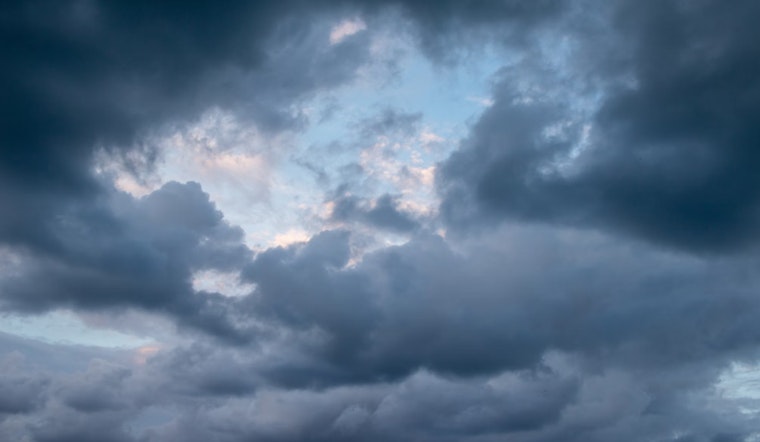
According to a recent forecast, while today's weather system meanders down the Pacific coast from the Northwest, residents can anticipate a tapering off of thunderstorms and snow along the Sierra Nevada. "Current probabilities show a 15-40% of thunderstorm development over the Sierra and adjacent foothills," details the NWS update, emphasizing that the highest chances for thunderstorms are this afternoon and evening. For Sierra crest dwellers, a wetter outlook is expected, with the likelihood of receiving up to an inch of precipitation in some areas.
Those living near the Park Fire burn scar should remain vigilant, as isolated thunderstorms may bring about potential debris flow. The forecast also speaks of thunderstorm chances persisting tomorrow, although confined to the Sierra crest and primarily affecting areas south of US 50. Looking ahead, temperatures are poised to climb back to normal levels by the weekend, with the Valley hitting the mid 80s to low 90s and mountain regions reaching comfortable mid 80s.
As we shift into the extended discussion from Sunday through Wednesday, the NWS predicts dry weather to continue, courtesy of high pressure moving inland over Northern California. This means, we're in for a warm spell as temperatures are expected to soar into the mid to upper 90s across the Valley and Delta—introducing "Areas of Moderate HeatRisk also return to the Delta, Valley, and foothills of the Sierra Monday-Tuesday," the NWS forecast suggests. An onset of light to breezy northerly winds is also anticipated across the Sacramento Valley, potentially ramping up localized fire weather concerns due to decreased humidity levels.
The aviation sector can look forward to generally favorable flying conditions, with the NWS expecting VFR (Visual Flight Rules) conditions and light surface winds over the next 24 hours. However, caution is advised for potential scattered showers and isolated thunderstorms over the foothills and Sierra, which might temporarily disrupt visibility. "Easterly wind gusts up to 20 knots will be possible this evening," the NWS notice indicates, potentially affecting the Sierra region. As for advisories, none have been declared, which could signal a respite for residents after a streak of erratic weather patterns.


