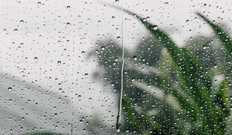
Northern California can expect a breezy few days ahead with a chance of showers and possible thunderstorms in some areas. The National Weather Service's Sacramento forecast indicates that a weather system from the Pacific Northwest will affect the region today, leading to gusty winds and cooler temperatures through the rest of the week.
According to the National Weather Service's Sacramento forecast, windy conditions are already evident across interior NorCal, as experienced by locales like Redding where temperatures are warmer, sitting at 78 degrees at the time of the forecast's writing. The trough effect is helping to enhance these conditions, with "an upper level low will dig further south out of the PacNW and move inland in Oregon/Washington today," potentially leading to a stray shower or thunderstorm in northern Shasta County late this afternoon into the evening. Probabilities for showers and thunderstorms in these areas are between 5 and 15 percent.
Commuters should be looking for stronger winds, particularly along the I-5 corridor and higher elevations, where the National Blend of Models projects 30-90 percent chances of wind gusts exceeding 25 mph. These conditions are set to persist through the evening, with northerly winds expected to bring elevated fire weather concerns on Thursday, especially in the northern Sacramento Valley. However, despite these elevated risks, the blustery conditions will not meet the thresholds necessary to trigger any advisories for the area.
As the week progresses, Sacramento and surrounding areas will also see some relief from the heat. "A welcome aspect of the upcoming pattern change will be cooler afternoon high temperatures," with the NBM projecting mid-80s to low 90s through Saturday. The forecast, a beacon for those wary of the heat, anticipates even cooler conditions next week. Another system is expected to bring widespread chances for precipitation and a further temperature dip. Some parts of interior northern California are marked for below-normal temperatures early next week, as reported by the National Weather Service.
The National Weather Service's Sacramento forecast also provides an extended outlook, estimating a 45 to 75 percent chance of receiving at least a tenth of an inch of rain, with the best chances occurring Monday into Tuesday. For aviation, the system moving through may bring localized areas of reduced visibility across the Coastal Range and northern Shasta County mountains, but VFR conditions are expected to prevail across the majority of NorCal over the next 24 hours.


