The National Weather Service in Cleveland has forecasted a calming spell of weather for Ohio residents, assuring sunny skies and a gradual warm-up for the coming days. According to the Area Forecast Discussion, an expansive high-pressure system is expected to build across the central and eastern United States, initiating a warming and drying trend throughout the week.
Despite a secondary upper trough that will drift eastward later today, the overall near-term forecast is anticipated to remain relatively undisturbed, mostly favoring western New York over the Cleveland area. Under clear skies, certain low spots and valleys in Northwest and North-Central Ohio might experience patchy frost due to steady dew points resting in the upper 30s to lower 40s, the National Weather Service indicated.
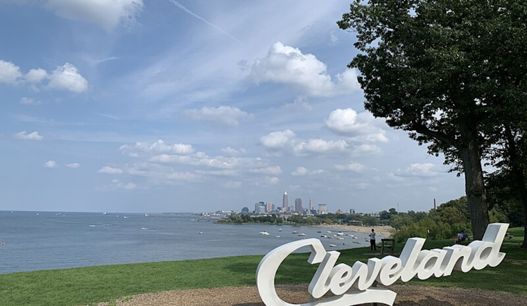
Temperatures today are set to hit agreeable highs ranging from the upper 60s to lower 70s under predominantly sunny conditions. "Much of the area should experience pleasant weather today," the National Weather Service's synopsis states. However, the possibility of isolated to scattered rain showers for far Northeast Ohio and Northwest Pennsylvania come Monday might set a different scene as an upper trough grazes the region.
In the short term, even warmer weather is predicted from Monday night through Wednesday night, with clear skies prevailing. The upper-level air patterns will transition, with the trough moving east and a ridge to the west further solidifying. Temperatures are expected to soar into the mid-80s across Northern Ohio by Tuesday, with some areas in Northwest Ohio potentially reaching the 90-degree mark by midweek, a definite sign of summer lingering into September.
Regarding marine conditions, boaters should brace for some turbulence on Lake Erie today. "Small Craft Advisories will remain up for the central and eastern basin today," noted the National Weather Service, cautioning against waves ranging from 2 to 5 feet due to westerly winds. Nonetheless, sailors in the western basin can anticipate milder winds and waves. Forecasts leading into the weekend suggest temperatures holding steady in the 80s. However, an eastern slide of the upper-level ridge may introduce isolated showers and the odd thunderstorm, marking a possible end to the spate of hot and dry days.


.jpg)