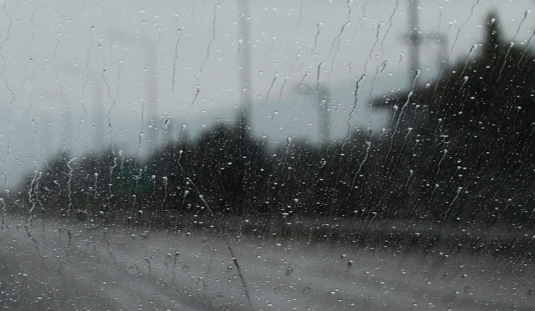
As summer ends, Las Vegas is preparing for a weather shift. The National Weather Service predicts a slight cooldown after a hot season. Today, expect isolated showers and thunderstorms, especially east of a line from Yucca Valley to Mount Charleston to Rachel. the forecast also suggests a "subtle drying" trend with warmer mid-level temperatures and reduced storm activity in the coming days.
The forecast indicates a lower chance of thunderstorms compared to recent days, based on model projections and current atmospheric conditions. The high-resolution models predict isolated storms in the Morongo Basin, Clark County mountains, Lincoln County, and northern and central Mohave County. This year has been very hot for Las Vegas, with Sunday marking the 98th day of temperatures hitting 100°F or more at McCarran International Airport. If temperatures reach the forecasted 103°F today and tomorrow, it will tie the record for the most days in a year with temperatures at or above 100°F.
In the longer term, a significant cool-off is on the horizon, driven by a dip in the jet stream and an incoming cold front. This shift, expected around midweek, may drop temperatures by about 10 degrees between Tuesday and Thursday. Residents should be prepared for gusty conditions before and after the front passes through, prompting concerns over fire weather, particularly across the southern Great Basin, where the National Weather Service has advised caution.
For aviation interests, particularly around Harry Reid International Airport, the weather pattern presents a chance for disruptions. While the likelihood of showers or storms directly impacting the airport is about 10%, the surrounding areas could see outflow gusts exceeding 20 knots, which may still influence airport operations. "Odds of precipitation at the terminal are only ~10%, but the chance of outflow gusts exceeding 20 knots is about 30%," the National Weather Service report detailed.
For residents in southern Nevada, northwest Arizona, and southeast California, typical light winds will continue unless impacted by storms. The weather service has activated its spotter network, asking citizens to report significant weather or impacts as conditions change. This community involvement helps ensure a strong response to the evolving weather in the desert southwest.


