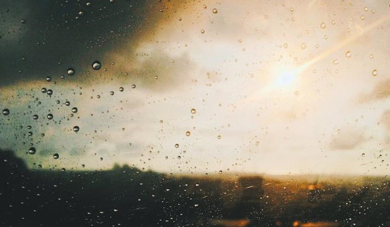
As the late summer sun continues to beam down on the Mojave, residents of Las Vegas and surrounding areas are bracing themselves for a bout of extreme heat later this week. According to the National Weather Service Las Vegas NV, isolated showers and thunderstorms are making a return appearance in Mohave County as well as the higher terrains of southern Nevada today, conditions that are somewhat of an appetizer to the main course of climbing temperatures promising to swelter the region.
While today's thunderstorms mirror those from the previous day, new factors are in play as a closed low makes its way into the California coast, introducing mid-level moisture that will heighten storm chances and raise the stakes with dry lightning and gusty winds in parts of Esmeralda, southern Nye, and Lincoln counties. "This moisture is not enough to saturate the lower levels of the atmosphere, so the largest impacts today are dry lightning (thus increased risk of fire starts) and gusty winds from the direction of strong storms," as described in a forecast briefing by the National Weather Service. Amid the brewing storms, the Excessive Heat Watch looms like a heavy curtain ready to fall on the lower elevation Mojave Desert zones come Wednesday through Friday.
With the heatwave aligning its arrival, temperatures are expected to soar past normal, reaching 5 to 10 degrees above the usual metrics, an indication of what the National Weather Service labels a Major or Extreme HeatRisk condition. The southeastern winds today and the subsequent shift in pressure, although not anticipated to meet Red Flag criteria, are predicted to fan the flames of regional fire dangers, which is worth noting for those with interests rooted in the dry landscape.
The forecast into the weekend offers a gradual cooldown as a trough or closed low nibbles at the edges of the West Coast late Friday, inviting a refreshed cycle of moisture from the south and ringing in increased chances for showers and thunderstorms through Saturday and Sunday; this aqueous interlude stands in stark contrast to the baking heat and aridity that dominates much of our local geography and temperament. Temperatures are due to "pull back at least 3-5 degrees" according to the National Weather Service report, a respite that while slight, can be the difference between extremity and a more bearable reality.
In the world of aviation, Harry Reid and nearby terminals are keeping a watchful eye on the skies as variable winds and thunderstorms could pose a challenge with sudden outflow winds causing temporary but significant changes in wind speed and direction. Pilots can expect a shift from southeast breezes in the afternoon to southerly and eventually southwestern winds in the evening hours, pacing in tandem with the diurnal mood of the desert air.
The National Weather Service encourages spotters to stay vigilant and report any significant weather developments or impacts, a collective effort to navigate the caprices of a climate that dances, often unpredictably, to the rhythm of natural forces. So, as the city of neon lights readies itself for a different kind of flashing spectacle—the electric theatrics of desert storms—there's a collective holding of breath, and perhaps a silent hope, for enough water to temper the oncoming heat, and enough cool to soothe the parched pavements of Las Vegas.


