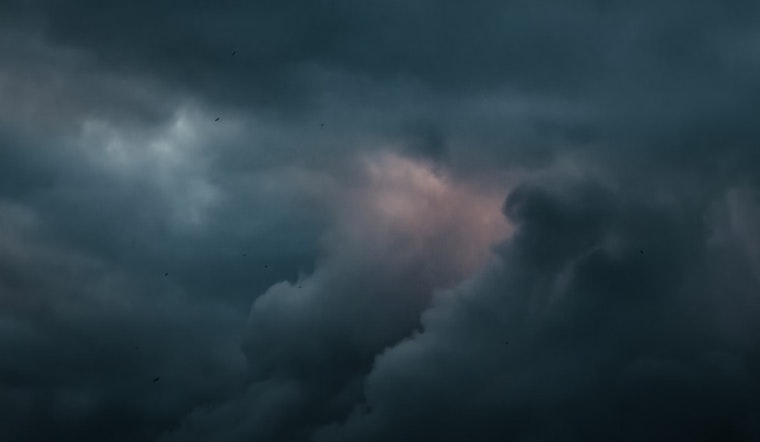
The National Weather Service in Sacramento has released a forecast that points to a significant shift in weather patterns for Northern California starting tomorrow. According to the NWS weather update, Californians can expect to see a transition to cooler temperatures and unsettled weather, including the potential for scattered showers and isolated thunderstorms punctuated by periods of gusty winds.
Today's serene conditions are slated to make a quick exit as an upper low pressure system is forecasted to develop overnight and to quickly dig down along the West Coast. This change will start to bring cooler air and increased instability to the region, particularly affecting the northern part of the state. The NWS anticipates "much cooler air spreads into the CWA Sunday with increasing wind." Temperatures in the Central Valley are predicted to hover in the "upper 70s to lower 80s" range, a stark contrast with the higher temps seen in recent days.
Snow lovers might get their first taste of winter, as snow levels are forecasted to drop near mountain pass levels, with some light snowfall possible. The weather will remain dynamic into early next week, with the NWS forecasting temperatures on Monday to drop "upwards of 20+ degrees below normal.” This promises to bring a chilly start to the week, with the Central Valley potentially seeing highs only reaching into the "upper 60s to lower 70s."
While there may be a brief respite in precipitation on Tuesday, another short wave trough is expected to drop into the long wave pattern by Wednesday, introducing yet another round of cooler, unsettled weather into the mix. These conditions might lead to higher precipitation across the Sierra Nevada, though according to the NWS' Extended Discussion, snow levels should remain above 8000 feet during this period.
For those looking forward to returning to drier and warmer days, the forecast brings good news for the latter part of the upcoming week. By Thursday, an upper-level ridge of high pressure is expected to start building in the region, bringing a rise in high temperatures into the lower 80s and the potential for "some locally gusty northerly wind," as mentioned on NWS. For aviators, the current conditions remain clear with VFR (Visual Flight Rules) over the next 24 hours, and surface winds holding at or below 12 knots, except near the Delta where winds could pick up to 20 knots after 00z Sunday.


