Weather patterns over the Ohio Valley continue to influence conditions as the National Weather Service in Cleveland provides forecasts for the coming days. As per NWS Cleveland, an upper-level low centered over western Kentucky promises to deliver overcast skies with periods of light rain throughout the weekend. Temperatures are expected to hover in the 70s, with total precipitation amounts averaging around 0.25 inches, though local variations could see up to 0.5 inches, particularly towards central Ohio.
The National Weather Service Forecast discussions indicate a period of unsettled weather through Tuesday night, brought on by the remnants of what was once Helene. "During Monday night through Tuesday night, a warm front is expected to sweep N’ward through our CWA and be followed quite quickly by the SE’ward passage of a strong cold front," the discussion states. Helene's leftover circulation and moist isentropic ascent could release enough instability to generate a few thunderstorms early in the week, with scattered rain showers persisting as the cold front moves through.
As the front passes, a stark drop in temperatures is anticipated. The region can expect overnight lows dipping into the 50s and daytime highs reaching the 70s before the front, dropping to the upper 40s to mid-50s post-frontal passage around daybreak Wednesday. The extended forecast provided by NWS indicates the return of high-pressure mid-week, which should end lake-effect rain showers and usher in fair weather conditions with highs ranging from the 60s to near 70F.
On the aviation front, conditions remain mixed, and visibility fluctuates due to scattered rain showers. Forecasts suggest improvements to mostly VFR conditions during the day but deteriorate later in the evening. "Went somewhere in the middle with all TAF sites going down to at least low MVFR with western TAF sites (KTOL, KFDY, and KMFD) going down to IFR conditions, which is the area where confidence is greatest in lower ceilings," according to the National Weather Service aviation discussion.
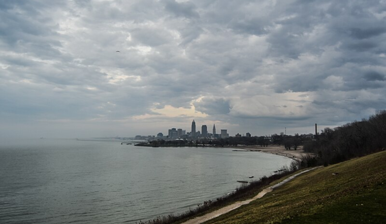
Lake conditions will also remain tumultuous as the remnants of Helene influence Lake Erie. According to NWS marine forecasts, "The Small Craft Advisory and Beach Hazards Statement from Vermilion to Ripley remain in effect until 8 AM EDT this morning." For mariners and beachgoers alike, this translates to expected larger waves and necessitates caution. However, wave activity is projected to calm down later into the week as pressure builds across the region and winds subside, potentially leaving quieter waters in its wake.


.jpg)