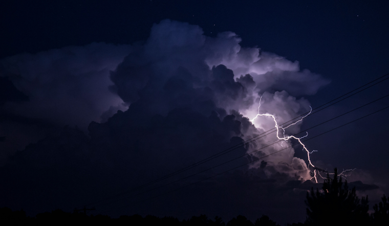
As the city braces for the impact of Tropical Cyclone Helene, the NWS has issued a weather advisory warning of strong winds and heavy rainfall expected to hit Orlando and its surroundings. According to the National Weather Service Melbourne, air travel is poised to face significant disruptions, with the NWS outlining potential gusty crosswinds affecting north/south operations and a high chance of showers and storms that may lead to IFR/MVFR restrictions at airports starting from late this morning.
The advisory further details that wind speeds may climb to 20-25 knots, and Orlando residents can expect an increase in precipitation as showers roll in from the southeast; the forecast presumes the likelihood of detached outer rainbands associated with Helene, not directly connected but still capable of packing a punch with heavy rain and possible localized flooding, especially in areas that have recently experienced similar conditions. In a statement obtained by National Weather Service Melbourne, the Mayor of Orlando urged residents to be cautious and closely monitor the evolving weather situation.
Helene, which is intensifying over the northwest Caribbean, is predicted to move northward into the eastern Gulf of Mexico within the next 48 hours. This will threaten to escalate conditions with rough surf and potentially spin up tornadoes along the coast. With humidity levels staying high after Helene's passage, the weekend may bring even more moisture and persistent rain chances that the city will need to contend with.
For those considering heading out to sea, it is strongly advised to rethink those plans as Tropical Storm Warnings extend to the Atlantic waters off the coast. Boating conditions will worsen today as seas surge, predicted to reach 7 to 10 feet, even peaking at 13 feet offshore later on Thursday. Deteriorating conditions will be felt across the board as winds further strengthen and showers transition into more organized storms.
The preliminary point temperatures/pops (probability of precipitation) for cities such as Daytona Beach and Vero Beach have been set, with rain chances soaring to 70-90%, with Helene influencing the weather pattern. Looking forward past the storm, a mix of offshore winds and lingering humidity has the potential to create uncomfortable heat indices and bolster storm activity as the city moves into the weekend.


