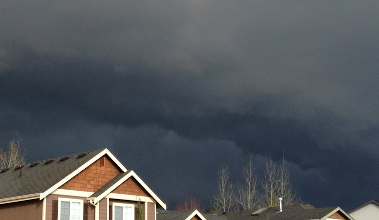
Residents of Seattle brace for a spate of inclement weather as the National Weather Service in Seattle, Washington, forecasts a series of showers and possible thunderstorms in the coming days. The weather, carrying a 40 percent chance of precipitation, is expected to disrupt the calm that's held the city in a cool embrace, with temperatures hovering at a comfortable 59°F and overcast skies as of the last 6:05 AM update.
The immediate forecast indicates showers are likely to occur mainly between 3 PM and 5 PM today. This will be followed by a transition to partly cloudy skies tonight, the temperature descending gently to a low near 54. Friday night could bring more significant "showers likely, mainly after 11pm," according to the NWS report.
As per the detailed NWS predictions, Seattleites can expect a high of 66°F on Friday, with winds stirring softly at around 6 mph. The moist conditions set the stage for a wet weekend with a 60% chance of rain Friday night and an ominous 90% on Saturday, complete with the potential for thunderstorms post-11 AM, a scenario that could lead to higher rainfall amounts than usual in some areas.
The NWS cautions locals to be prepared for the likelihood of rain persisting through Sunday with a 50 percent chance of showers and a near-constant shroud of cloudy skies. When the sun takes its bow on Sunday night, the skies should clear, granting Seattle a mostly sunny Monday. However, any reprieve appears fleeting as showers may resume after 11 PM. Come Tuesday, the city is set to return to the familiar embrace of showers against a cloudy backdrop with a high near 62.


