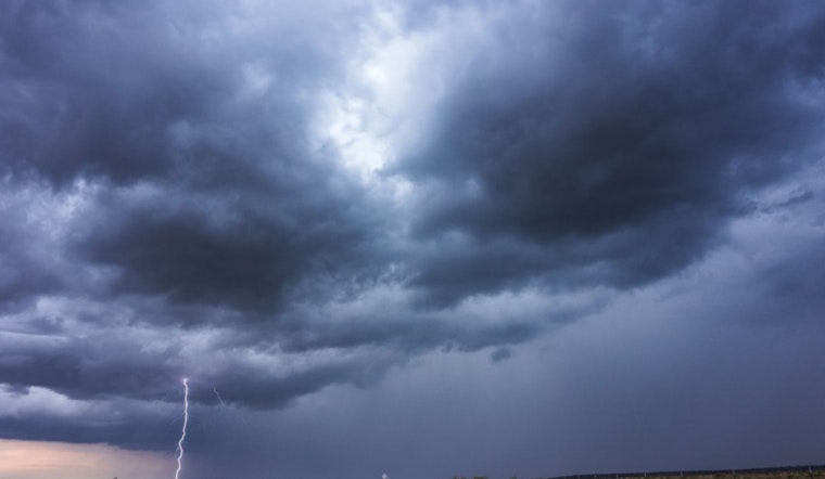
St. Louis is facing a significant weather change today, with a forecast of showers and possible thunderstorms in the morning, followed by more rain in the afternoon. The National Weather Service reports humidity levels at 90%, a dewpoint of 68°F, and visibility reduced to 0.75 miles due to heavy rain and mist. Current temperatures are approximately 71°F, with a high expected near 80°F later in the day. A 100% chance of precipitation is in effect.
Tonight, conditions are expected to be unstable, with a 50% chance of showers and thunderstorms. Cloudy skies and a light north wind of 5 to 7 mph will accompany a low temperature around 66°F, which may feel cooler. This unpredictable weather pattern is anticipated to continue into the week, with forecasts suggesting significant cloud coverage and ongoing storms. A 70% chance of more showers and possible thunderstorms is expected by Monday.
According to the NWS forecast, Tuesday will offer a 30% chance of showers and thunderstorms before 1 p.m., followed by just a slight chance of showers, with mostly cloudy conditions prevailing and a high near 73.
The National Weather Service's hazardous weather outlook warns of the potential for severe storms this afternoon and early evening, particularly in southeast Missouri and far southwest Illinois. "The primary threat will be damaging winds." Additionally, spotter activation may be required, so those trained for such situations should be prepared.
Looking ahead, chances of thunderstorms are expected to continue from Monday through Tuesday, with a fluctuating pattern of showers predicted through Saturday. For the latest weather update, you can visit the National Weather Service website.


