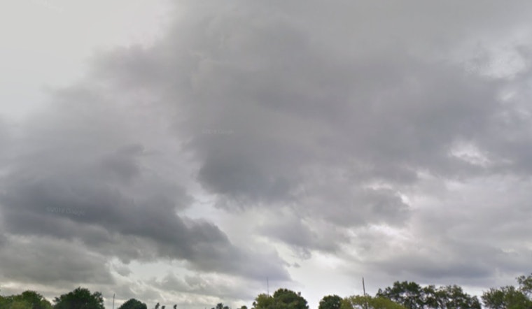
Bay Area residents should prepare themselves to face a series of scattered showers and thunderstorms throughout the week, with Tampa weather taking a particularly wet turn today. The National Weather Service, has reported a 60% chance of precipitation today, as scattered showers are expected to strengthen into likely thunderstorms post 5 p.m. Despite the temperate 78°F morning, temperatures are forecasted to rise near 92°F, with heat index values soaring as high as 106.
Those stepping out this evening should carry an umbrella as there is a lingering 30% chance of thunderstorms before 9 p.m. The NWS forecasts the nighttime to be mostly cloudy with the temperature holding steady at around 76°F.
Similar patterns are predicted for the coming days with Thursday and Friday both eyeing a 50% chance of scattered showers and thunderstorms, particularly post 2 p.m. The heat index remains high with values up to 107. Light winds are expected to offer some relief from the humidity, with speeds ranging from 5 to 7 mph.
As the weekend approaches, expectations for outdoor activities might have to be tempered, as both Saturday and Sunday carry a 30% to 40% chance of rain after 2 p.m. The NWS forecasts suggest that while the days may generally start mostly sunny with highs persisting near 92°F, they will likely transition to evenings with potential thunderstorms.
Looking ahead to early next week, the pattern of scattered thunderstorms continues, stretching into both day and nighttime with steady chances of precipitation. Daytime highs will hover around 90 to 91°F, with nighttime lows remaining comfortable at approximately 74°F.


