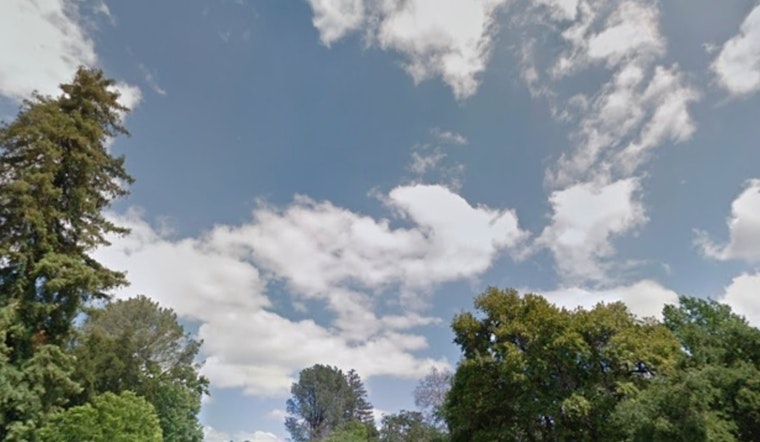
The Bay Area will start to cool down from recent high temperatures today, but it will still be warmer than usual, with highs in the upper 90s. A bigger drop is expected by Wednesday as weather patterns shift and onshore winds increase, according to the National Weather Service.
Sacramento residents may not feel the cooldown right away, but overnight temperatures in the mid to upper 50s will provide relief, reducing heat risk to moderate from the major levels seen in Yolo and Solano counties. Following a week of intense heat, the heat advisory has expired, easing some discomfort from the heat wave.
Midweek will see more cooling, with highs likely staying below 90 degrees on Wednesday and HeatRisk dropping to Minor. By the weekend, a weak weather system north of I-80 is expected to bring some rain by Saturday, particularly benefiting the northern Coastal Range, while eastern areas may receive less due to shadowing effects.
The chance of receiving at least a tenth of an inch of rain in the Sacramento metro area has increased, reaching 50% in the northern and western regions. This light rain is expected to provide moisture to an area dry after summer. Slightly warmer temperatures and drier conditions are forecast for Sunday and Monday, but another trough may bring cooler temperatures and possible showers by midweek.
Air travel in northern California is expected to be smooth over the next day, with VFR conditions and wind speeds below 12 knots, providing some stability amid changing autumn weather patterns.


