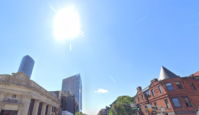
Bostonians woke up to a blanket of dense fog this morning, but as the mist lifts, the city is in for some sunshine, with today's highs anticipated to reach near 76 degrees, as detailed in a forecast by the National Weather Service. The Southwest wind speeds will hustle between 5 to 13 mph, gusting up to 28 mph, cutting through the early warmth as the city enjoys one of its last balmy spells for this year.
As night approaches, the NWS predicts that the conditions will shift to partly cloudy skies with a temperature drop to around 56 degrees. The Southwest winds will persist, easing slightly with speeds of 6 to 10 mph and occasional gusts as high as 22 mph. This reprieve comes before a cold front sweeps over the city overnight, bringing cooler temperatures for the following day.
The mercury is expected to slide further down to a high near 66 tomorrow, according to the National Weather Service. From Thursday night into Friday, Bostonians will feel the onset of chill with lows dropping to around 43 degrees, and the forecast presents a mostly clear sky.
A report from NBC Boston highlights concerns over the lack of rainfall in recent months, with drought conditions becoming increasingly worrying. "It seemed like a side story to the wonderful late-summer weather, but now the drought has grown concerning," as stated in a report. Strong winds exacerbate fire dangers and water reserves dip, even as the city searches the skies for a promising downpour. Yet, the immediate forecast offers little more than the possibility of scattered sprinkles later in the week.
Looking towards the weekend, the situation does not promise much change. Temperatures are expected to hover in the low 60s during the day and descend into the low 40s at night, laying the groundwork for a potentially frosty Monday morning in Boston. As the second cold front enters, a dramatic shift will mark the transition from a warm autumn to a season that might finally reflect its name.


