As the week kicks off in Cleveland, Ohio, the National Weather Service has forecasted a serene weather pattern, thanks to the Canadian high pressure taking charge through the weekend. The shift will bring a cooler touch, a drop in the mercury much akin to the familiar crispness of early October. Some residents downwind of Lake Erie in northeast Ohio and northwest Pennsylvania might need to keep an umbrella handy, with light showers potentially dampening spirits as a minor trough hovers above.
However, these droplets from the sky are the exception, not the rule. With clear skies expected to prevail once the region shakes off the lake's influence, the sun should grace the majority with its presence, offering clarity and brightness after the temporary cloudiness. Temperatures are making a noticeable dive to more comfortable spheres, summoning highs from the upper 50s to mid-60s across the area, which is nearly 20 degrees cooler than Sunday, and come nightfall, the lows are potentially bottoming out into the 40s, touching the upper 30s in secluded spots. This lean towards chillier nights has raised the prospect of patchy frost, a bride unwelcome at the tail end of the growing season. However, uncertainty regarding wind currents and cloud cover means the frost advisories remain at bay for now, with the National Weather Service keeping an eye out for more vital indications of their necessity.
Moving on to the short term, as outlined by the National Weather Service, an upper-level trough from eastern Canada makes its rendezvous with the New England coast by Thursday, and as pieces of this atmospheric puzzle swing by, they'll grace parts of Pennsylvania with cool air and sporadic lake enhanced rain showers. At the same time, a warming high pressure reinforces its position on Wednesday. Ohio temperatures are to take on a slight hike, just enough to notice the difference, and by Thursday, the highs range from the refreshingly cool 50s in Pennsylvania to the balmy 60s in Ohio.
And for those looking ahead, the long-term outlook sees the upper-level ridge stretching its arms across the Great Lakes Region on Friday. Still, anticipation builds as the temperatures plan a comeback to normal or slightly above before a cold front on Saturday plays its hand in the weather stakes. The timing of this front is crucial and can majorly affect the temperature curve. The weekend crescendo arrives with a low-pressure system forecast to glide close to Lake Erie on Sunday, potentially ushering in precipitation and brisk conditions, with Sunday wardrobe choices hinging on which side of the system the region falls on.
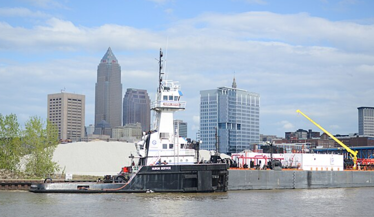
Boaters and marine enthusiasts, be alert: a Small Craft Advisory is in force east of the Lake Erie Islands until 4 PM this afternoon due to spirited winds and choppy conditions. Thanks to a mingling of modest moisture and temperature tandems, the rest of the waters might witness a scenic occurrence of waterspouts, albeit the slim likelihood. Calmer pumps from a central high pressure over the Great Lakes should bring about a more tranquil lake stage as we sail into the latter half of the week.


.jpg)