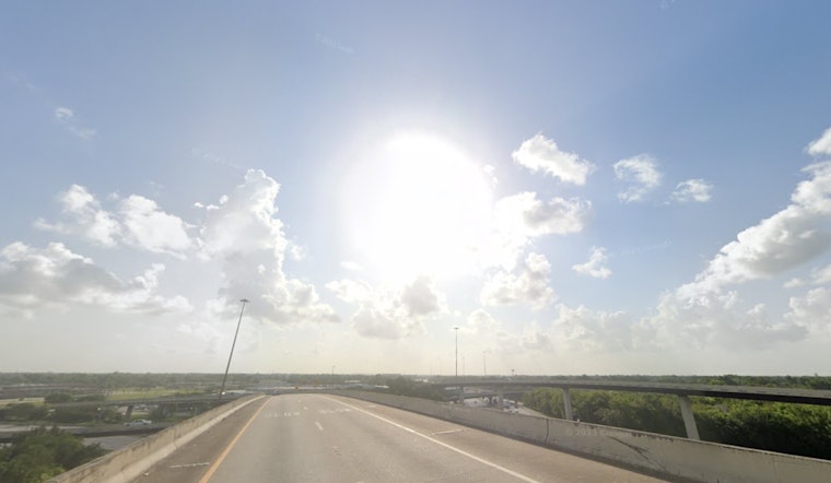
Residents in Houston can expect an oscillation between sunny skies and storm clouds today, with the National Weather Service (NWS) issuing forecasts that hint at a characteristically tumultuous weather pattern. Showers and thunderstorms are on the schedule, accompanied by robust southeast winds that could reach 20 mph. The chance of precipitation holds at a steady 60%, with the possibility of rainfall reaching up to half an inch, as per the NWS forecast for today.
The unsettled weather carries on into the night, introducing a 30 percent possibility of rain between the early hours of 3 a.m. and 5 a.m. while the region will witness lows hovering around 74 degrees, it's worth noting that throughout the coming days the area will not get much reprieve from the conditions, with chances of thunderstorms appearing repeatedly in the forecast and a consistent warm trend that continues well into the next week, this was detailed by the NWS Houston in a heat index outlook on X.
Warm temperatures and rain chances are in the SE TX forecast for the remainder of the week, over the weekend and on into the first half of next week. It will be breezy at times, too. #txwx #houwx #glswx #bcswx pic.twitter.com/udGpLoNs9v
— NWS Houston (@NWSHouston) October 30, 2024
Thursday ramps up the likelihood of showers and thunderstorms post-10 a.m., with a 70% chance of precipitation and potential thunderstorms arriving as part of the forecast. Friday also sees a 50 percent chance of storms, continuing a pattern of partly sunny days intercepted by thunderous interruptions. The weekend remains steadfast in this pattern, offering no clear respite from the intermittent sunny spells and stormy vigils.
Perhaps more concerning is the warning issued by the NWS Storm Prediction Center, citing an "enhanced risk of severe thunderstorms for portions of eastern Kansas into far northeastern Oklahoma and northwestern Missouri," a condition that could cascade into the indicators of a tempestuous system in Houston. According to the report, there's potential for "large hail, damaging wind gusts, and a few tornadoes," especially today into early tonight, as Houston aligns under the trajectory of a powerful weather system, a movement of air and moisture that forebodes the capricious whims of tempest—they said, "Severe storms are likely ahead of the cold front and dryline, with all hazards possible."
With temperatures predicted to often flirt with the mid-80s and the potential for powerful storm systems on the horizon, the people of Houston are bracing for a week ahead that promises a melee of meteorological moods—sunshine sparring with storms in a seasonal dance deep into fall's embrace.


