Houstonians gearing up for the start of a new week can expect a mix of sun, potential thunderstorms, and some foggy commutes in the days ahead. The skies will mostly be sunny today with highs tipping towards the upper 80s and southeast winds fluttering at 5 to 15 mph, gusting up to 20 mph, as outlined by the National Weather Service.
The clear skies are expected to give way tonight to a low around 72, and those southeast gusts could maintain their pace; for Tuesday, the optimism of the sun is likely unclouded with the temperature hovering near 85 with similar wind patterns. However, mix in some foresight for the middle of the week, Wednesday brings a 50 percent chance of showers and thunderstorms amidst the sunny spells, so carrying an umbrella might not be amiss, come that dawn, with gusts as high as 25 mph making it a tedious hold.
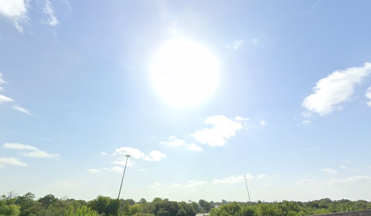
A quick glance over at the National Weather Service Houston's X feed reveals a word of caution for drivers: the morning has been touched by patches of fog, and though the fog is not as all-encompassing as seen on some recent days, it still poses a risk for sudden drops in visibility on the roads.
It's fog again this morning - and though not as widespread as some recent days, patchy dense fog is still out and about. Be ready on the roads for visibility to change abruptly over small stretches of time and distance, and adjust safely. Mondays are bad enough without a crash! pic.twitter.com/ND0w0JMiRH
— NWS Houston (@NWSHouston) October 28, 2024
For those seeking a deeper understanding of the broader atmospheric dynamics, the Storm Prediction Center's discussion points at a largely serene picture across the country with "NO SEVERE THUNDERSTORM AREAS FORECAST" and any storms in the western US likely to remain isolated, weak, this paints a context of tranquility; but then again, for Houston’s remainder of the week, rain probabilities swing up to a 70% chance of precipitation by Thursday with possible claps of thunder which could intrude into these steadily warming autumn days.
As the weekend approaches, the forecast seesaws back to a blend of sun and storm potential with a 40 percent chance of rain on Saturday and patchy possibilities into Sunday, the highs remain lenient in the low 80s, promising a consistent if not completely predictable, rhythm to the weather as October gives its final bow. Residents will do well to stay tuned to local weather updates and prepare for intermittent showers, sunshine, and allow for flexibility in their plans and wardrobes.


