Northeastern Ohio and northwestern Pennsylvania residents should keep their umbrellas handy as lake effect showers expand across the region. According to the latest from the National Weather Service in Cleveland, OH, showers are becoming convective, bringing the potential for small hail or graupel. The forecast suggests that the highest probabilities of precipitation (PoPs) will be focused downwind from the Lake Huron connection.
A shortwave trough influences today's weather and is expected to bring scattered lake-effect rain showers and clouds throughout the day. "The primary band of precip will likely wobble a bit as the day wears on," the NWS Cleveland reports. Even as drier air begins moving into western zones later today, temperatures are projected to plummet overnight where skies manage to clear, with several locations likely to experience freeze conditions. In light of this, a Freeze Warning has been issued for Wednesday morning, particularly in the western portion of several eastern-tier counties like Ottawa, Sandusky, and Seneca, where the sharp gradient of above-freezing and sub-freezing temperatures is caused by cloud cover.
The weather scenario should improve by Wednesday as the dry air expands eastward and lake-effect rain showers taper off. This change coincides with a ridge and surface high-pressure building from the west. Despite the respite from rainfall and potential for sunshine in the afternoon, daytime temperatures are anticipated to remain unseasonably cool, with highs in the mid-40s to lower 50s.
In the short term, an upper-level ridge is expected to push temperatures back to more seasonable levels between Wednesday night and Friday night. "More sunshine expected on Friday with seasonable high temps in the lower to middle 60s,” the National Weather Service forecast suggests. Over the weekend, the region is set to experience a quiet weather pattern due to an upper-level ridge of high pressure, with temperatures ranging from the mid-60s to lower 70s, and early next week could see temperatures in the upper-60s to middle 70s.
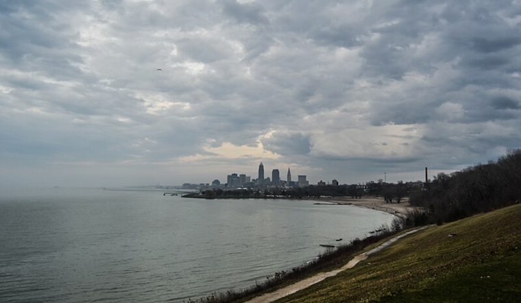
For those taking to the skies, the NWS advises that lake effect rain showers could result in non-VFR (Visual Flight Rules) conditions through Wednesday afternoon at northeastern Ohio and northwestern Pennsylvania airports. Meanwhile, boaters on Lake Erie should exercise caution as Small Craft Advisories are in effect, with north to northwest winds expected to create rough conditions with waves building to 4 to 7 feet. Yet, the waterspout warning, pertinent today through early Wednesday, has underscored a distinct hazard for those navigating Lake Erie.


.jpg)