The Las Vegas area is undergoing a significant weather shift as a low pressure system sweeps in from the Pacific, bringing forth a surge in wind activity and a stark drop in temperatures. This latest weather event is also set to deliver rain and possible mountain snow over the next couple of days, according to the National Weather Service in Las Vegas. As Wednesday approaches, residents can expect a period of quieter weather, albeit accompanied by temperatures lingering below the seasonal average.
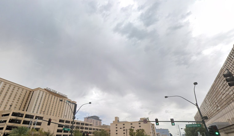
Experts at the National Weather Service have been closely tracking the system, which midnight satellite imagery shows covered the region with high clouds. The system’s movements have led to a Wind Advisory. Winds have picked up significantly, especially at higher elevations, with initial gusts exceeding 35 mph. As the trough axis shifts southeastward today, skies will clear except for mountain-enhanced clouds. This will allow boundary layer temperatures to warm, causing upper-level winds to mix down to the surface, as per the National Weather Service report.
Adding to the weather drama, the National Weather Service anticipates a pronounced bout of precipitation impacting Lincoln County tonight. A Winter Weather Advisory has been enacted in response to forecasted snow accumulations that could reach three inches or more at elevations above 7000 feet. And as we edge into tomorrow night, the imminent cold is expected to enforce the first seasonal freeze for the Arizona Strip, quite literally manifesting through a Freeze Watch now in effect for that area.
Looking further ahead into the week and beyond, forecasts indicate that the region may experience cool and potentially unsettled conditions as we transition into November. Temperatures are expected to recover somewhat on Thursday and Friday, returning closer to normal before dropping several degrees over the weekend, as stated in the National Weather Service's outlook. There is also ongoing monitoring of precipitation chances, which could vary greatly depending on the path of a shortwave that might develop into a closed low near southern California or northern Baja Mexico.
The aviation implications are also significant, with Harry Reid International Airport bracing for south-southwest winds expected to intensify through the morning, potentially reaching gusts of 30 to 40 knots at their peak. Winds are then forecast to gradually decrease during the evening before the cold front and north winds arrive overnight, as reported by the National Weather Service. Additionally, spotters are encouraged to report any substantial weather impacts, playing a critical role in refining forecasts and ensuring public safety.


