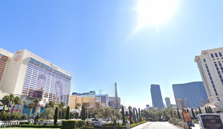
Residents of Las Vegas and nearby areas can enjoy warm, dry weather for a bit longer, but a significant change in weather is expected later this week. According to a forecast discussion from the National Weather Service Las Vegas NV, clear skies and above-normal temperatures are predicted to prevail through Tuesday night as a weak closed low slowly makes its way across Central Nevada.
However, starting Thursday, a powerful storm will develop over the Great Basin, bringing gusty southwest winds that will shift to the north by Friday. This change will lead to cooler temperatures and a greater chance of rain, especially in southern Nevada and northwest Arizona. "Chances for precipitation will also accompany this change, mainly on Friday and Saturday, with a chance of light snow accumulations in the higher terrain of Lincoln County and the Spring Mountains," according to the National Weather Service Las Vegas NV.
Travelers and aviators should be ready for upcoming changes, as calm conditions and predictable wind patterns will last until a more complex system arrives mid-week. Light winds following typical daily patterns are expected for Harry Reid Airport and the surrounding areas, including northwest Arizona and southeast California, from today through Tuesday.
The National Weather Service notes that confidence in the forecast decreases after Thursday, with models split between a colder, slower-moving system and a faster, milder one. This could lead to a significant temperature drop in Las Vegas, with highs varying by up to 13 degrees by Friday. While there's uncertainty in the forecast, strong north winds are expected, and "Wind Advisories may be needed," preparing residents for a gusty end to the week.
The National Weather Service in Las Vegas encourages community members and spotters to stay vigilant. They should report any significant weather events as the situation develops.


