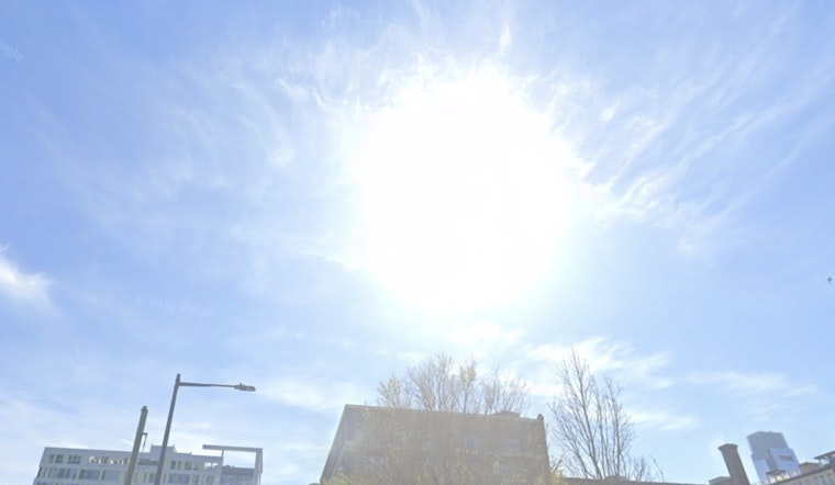
Philadelphians can expect a mix of sun and clouds with cooler temperatures to start their week. Today's high will hover near a comfortable 63 degrees, with a northwest wind turning southeast in the afternoon. As night falls, the temperature will dip to around 43 degrees, accompanied by a gentle southeast wind that will shift to the east after midnight, according to the latest forecast from the National Weather Service.
In an early morning update, the NWS has also maintained a frost advisory for multiple areas including Delaware Beaches, Eastern Monmouth, and parts of Philadelphia until 9 a.m. this morning. With temperatures as low as 33 degrees, "frost could harm sensitive outdoor vegetation," and "sensitive outdoor plants may be killed if left uncovered."
However, the week’s outlook shifts to warmer weather with the high climbing to around 69 on Tuesday and reaching the high 70s by Wednesday. This warming trend is expected to continue, peaking at near 80 degrees on Thursday before conditions become more variable with a chance of showers on Friday.
Beyond temperature fluctuations, the NWS has also issued a special weather statement highlighting an "increased risk of fire spread today." With humidity dropping to as low as 20 to 30 percent and dry vegetation, fires that ignite could spread rapidly. "Outdoor burning is strongly discouraged," and the public should dispose of ignition sources like cigarette butts correctly. Although relative humidity is expected to recover slightly on Tuesday, state or local burn restrictions may remain in effect.


