According to the National Weather Service in Cleveland, those in the Cleveland area can look forward to classic early fall weather as the weekend rolls in. A cold front is expected to move southeast across the region today, followed by high pressure gracing the skies tonight through Saturday night. Another formidable cold front will appear Sunday afternoon, ushering in cooler temperatures courtesy of Canadian high pressure early next week.
The current meteorological setup promises a very pleasant end to the workweek and a non-impactful start to the weekend. However, don't get too cozy. The weather is slated to take a brisk turn. Your Friday is expected to be quite similar to Thursday, with highs generally lingering in the mid-to-upper 70s, a tad cooler along the northwest PA lakeshore, as reported by the NWS.
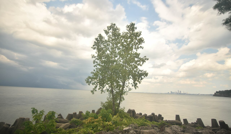
Boating and beach plans for Lake Erie may want to note the marine forecast. A weak front is passing today, bringing light southerly winds switching to northwesterly. However, this peaceful scenario is not long for this world as winds will pivot northeast and pick up speed tonight into Saturday, potentially leading to choppier waters in the central basin, the National Weather Service marine report indicates.
Next week seems to hold the potential for cooler-than-average temperatures. Maybe, just maybe, the first hints of frost in those typically cooler locations, but before that, Sunday appears to be poised for some potential thunderstorms, particularly in the eastern half of the forecast area, with the wind field increasing along the front too, "If we end up with convection, will need to keep an eye out for a few strong to severe storms during the mid to late afternoon," the NWS added, pointing out the likelihood of a blend of breezy conditions with a side of thunder for your Sunday veneer.
For aviators and those planning to travel by air, VFR (visual flight rules) conditions are predicated throughout the TAF (Terminal Aerodrome Forecast) period, so no major travel disruptions are on the horizon. Again, this relative calm in our celestial dance is set to be interrupted on Sunday afternoon and evening, with the possibility of thunderstorms taking to the stage, NWS advised.


.jpg)