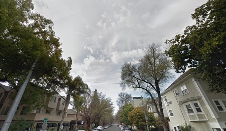
For Sacramento residents looking for a reprieve from the heat, the National Weather Service has some good news: a cooling trend is making its way through the area, bringing with it light rain and more comfortable temperatures. According to National Weather Service Sacramento, this change in weather patterns is associated with a weak system moving in from the eastern Pacific that will result in a cooling trend throughout the week and into the next.
High temperatures are set to dip a little further today with the approach of an upper-level trough, as humidity begins to rise, that gradual change which is like a slow dance towards the fall season we've been expecting, it's rolling out a welcome mat of high clouds across the region too. "Highs this afternoon will be in the mid to upper 80s to low 90s in the Valley and Delta, with 70s to mid-80s across the lower mountains to the foothills," the National Weather Service states, foreseeing that by Saturday, temperature highs will settle into the comfortable upper 70s to around 80 in the Valley and 60s to 70s over the mountains and foothills.
The forecast also suggests that Friday will see a further drop in temperatures of another 3 to 4 degrees, with "Minor or less" HeatRisk levels persisting, which means residents can enjoy outdoor activities with a lower risk of heat-related stress. Light rainfall is on the docket too, especially north of Interstate 80, starting late Friday night and into early Saturday, likely clearing up around mid-day. "Rainfall totals with this system are forecast around 0.01-0.25 inches," mentions the National Weather Service, with certain areas like the far western portions of the Sacramento Valley and the northern Coastal Range eying the higher end of those projections.
Those planning to take advantage of the cooler weather to head outdoors will be pleased to know that the onshore winds will be bringing more than just cooler temperatures but also increasing humidity which helps to dampen fire weather concerns, this transition offering a sigh of relief in a region where wildfires are a constant concern. Expected low humidity conditions will persist in the mountains and northern Sacramento Valley today, with "afternoon minimums in the teens to around 20 percent," but the outlook is improving steadily with each day, as per the National Weather Service.
The extended outlook for next week strikes a similar chord of variability, as weak upper ridging is prognosticated over the interior of Northern California on Monday, though this is expected to give way to a cooler pattern midweek with highs dropping around 3 to 8 degrees below normal. "Areas of gusty wind will accompany passage of short waves," the National Weather Service advises, signaling that it might be smart to secure outdoor objects and be prepared for occasional strong gusts. For aviators, the National Weather Service assures "VFR conditions over interior NorCal next 24 hrs," with surface wind mainly staying below 12 knots except in the vicinity of the Delta. So, as the leaves begin to turn and pumpkin spice becomes the flavor du jour, Sacramento's weather appears to be aligning with classic fall expectations: crisp, cool, and gradually wetter.


