San Diego's weather pattern is shaping into a classic case of coastal fog and inland heat before a cool-down sweeps through the region. According to the National Weather Service San Diego, the temperatures today will be around 7-12 degrees above normal away from the coast, as the inland valleys are set to experience low 90s. In comparison, the low deserts could hit the low 100s.
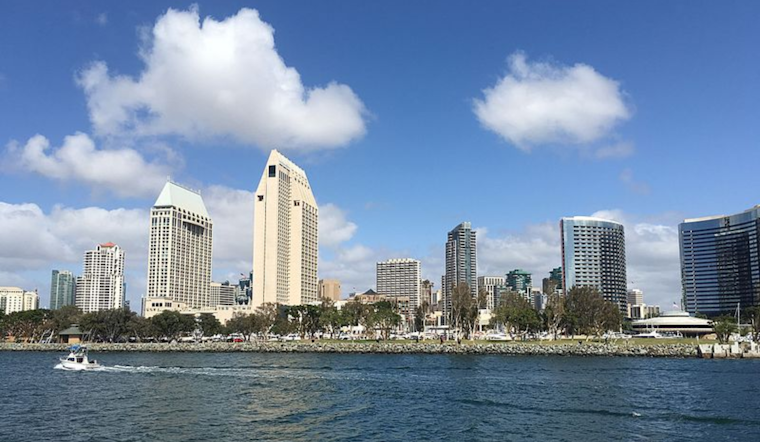
In what's becoming a typical Southern California weather dichotomy, coastal residents woke up to dense fog with visibility down to a quarter mile in some areas—notably, 1/4 mile visibility this morning was reported in San Diego County coastal areas, with similar conditions in Orange County, prompting a Dense Fog Advisory effective through 9 AM this morning have been issued as the NWS confirmed; inland, the story is a starkly different one as clear skies prevail with heat indices well above what's normal.
Relief is, however, on the horizon. Cooler weather is slated to arrive on Saturday, with temperatures approaching a few degrees above normal. By Sunday, a large trough of low pressure moves over the West Coast, leading to below-average temperatures west of the mountains, as detailed in the NWS Area Forecast Discussion. This system will usher in a deeper marine layer that could bring low clouds and the chance of light precipitation to the region by mid-next week.
Looking ahead, the marine layer could invite more patchy dense fog tonight into Saturday morning, and as the trough digs more profound through the Great Basin from Wednesday into Thursday, San Diego might even see a little drizzle or light rain; NWS projects a 5-10 percent chance of measurable precipitation for Wednesday morning, increasing to 15-20 percent Thursday morning, That's when the marine layer is at its deepest and the trough axis swings through the despite the fact there's still quite a bit of uncertainty of how deep the low/trough will be.
Marine activity will also be affected by the environmental ballet of fog and sun, as Areas of dense fog with visibility 1 nm or less will continue through late this morning in the coastal waters, improving briefly in the afternoon before potentially rolling back in late evening and through Saturday morning, ensuring the boating folks and anglers will need to stay vigilant, the NWS advises that no hazardous marine conditions are expected through Monday outside of the fog's embrace.
While not officially activated, NWS has encouraged local weather spotters to report any significant weather conditions. This is a standing invitation for community participation in our collective understanding of the skies above and the air we breathe, a reminder that the earth's tapestry is as much shaped by its grand patterns as by the observers who take note.


