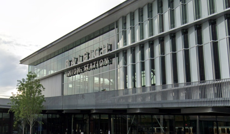
Get ready to map out a morning of tech exploration, because the City of Raleigh is putting on a free event that's all about geographic information systems (GIS), and it's happening at the Raleigh Union Station on Nov. 21, next Thursday, from 8:30 a.m. to noon, the city announced.
The 2024 GIS Day isn't just a chance to see government tech in action, because the City of Raleigh’s Information Technology Department promises demos, hands-on learning experiences, and an original map contest that’s inviting students to bring their best cartographic skills to the table, this all according to the city’s website. Festivities kick off at 8:30 a.m. with a warm welcome from City CIO Mark Wittenburg, leading into an afternoon brimming with information tables and interactive activities that showcase how local governments are harnessing GIS technologies.
For those with a competitive streak and a knack for visualization, there's the map contest that opens the floor to students. The City of Raleigh’s website explains that map submissions must be original work, standard size, printed horizontally, and must contain elements generated using GIS-based methods. Remember, the deadline for aspiring cartographers to submit their entries is on Nov. 14, this Thursday, and they’re asked to bring their printed maps to the event if they don't need printing assistance—which can be requested via email.
Once the maps are unfurled at Raleigh Union Station, attendees will cast their votes, assessing quality, content, and creativity to determine the winner, it's noted on the city's GIS Day page; and the map that garners the highest number of votes will take home the prize, shining a spotlight on the innovative ways GIS can shape our understanding and interaction with the spaces we inhabit.


