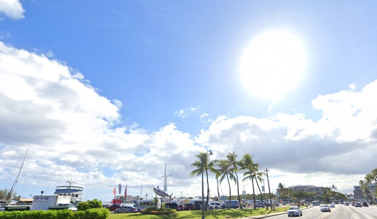
Good news for those in Honolulu craving some sun – the rain is making its exit and a drying trend is on the horizon. According to the National Weather Service in Honolulu, with the exception of showers over windward Big Island, we can expect drier conditions starting today and lasting for the next several days. However, while the trade winds have been known for their persistence, they'll be taking a breather and becoming light and variable by Friday.
A cold front is slated to make its presence known by Sunday, which could bring a few showers our way, but accumulations are expected to be minimal. Starting early next week, high pressure is forecast to build north of the islands, nudging winds to veer from the northwest back to the northeast. This change in the atmosphere is set to stabilize the weather, making for a mostly dry spell through the first half of the following week.
For those hitting the skies, aviation conditions are looking favorable. The aforementioned gradual decrease in trade winds should confine any rain showers and lower cloud ceilings to windward and mountainside locales, with only brief moments of marginal visual flight rules conditions. "Otherwise, VFR conds should prevail," as stated by the NWS.
Mariners can expect a sea change too. Surface high pressure that has been acting like a regional air traffic controller for winds is weakening, leading to gentle breezes. The current trade wind swell promises to give surfers a reason to ride the east shore waves, but by the weekend, those waves should mellow out considerably. By the early part of next week, gentle breezes will swing from northwest to northeast following the front's passage.
Despite the enjoyable weather conditions ahead, one thing residents should keep an eye on is fire risk. The Keetch-Byram Drought Index (KBDI) indicates high values across the state, and with the dry air settling in, relative humidity might drop to the 45% threshold critical for fire risk. "Fortunately, however, weak trade winds will mitigate fire weather concerns through the rest of this week," as mentioned by the National Weather Service.


