Las Vegas residents can expect cool and unsettled weather to persist today. According to National Weather Service Las Vegas NV, a stationary low-pressure system is hovering over the region, bringing with it isolated to scattered showers, particularly over Mohave County. The forecast calls for this trend to continue into the early part of next week as another weather system moves into the area.
Temperatures will remain low, with gusty north winds increasing along the lower Colorado River Valley. However, warmer weather is expected starting Wednesday as high pressure builds, bringing a drying trend and warming by the weekend. The National Weather Service predicts temperatures will be 10 to 15 degrees below normal today, with some warming on Sunday, especially at higher elevations.
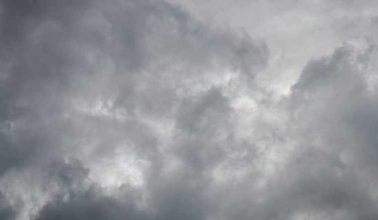
At Harry Reid airport, winds will shift northwest and strengthen throughout the day, with speeds over 10 knots and gusts up to 20 knots. The winds will ease slightly in the evening but pick up again the next morning. Aviation enthusiasts may see mid-level clouds, but no major flight disruptions are expected.
Stronger northerly winds are expected across southern Nevada, northwest Arizona, and southeast California, particularly in the late morning and afternoon, with peak gusts around 20 to 25 knots. KDAG and KEED will experience lighter winds, with occasional gusts under 20 knots. After a brisk evening, winds will calm but remain from the north or northwest, except at KDAG, where winds will shift westward. Morning showers in the Colorado River Valley will clear, leaving the rest of the day dry in these areas.
The National Weather Service urges spotters to report any significant weather conditions or impacts, following standard procedures, to help provide timely and accurate updates as the weather systems affect the area.


