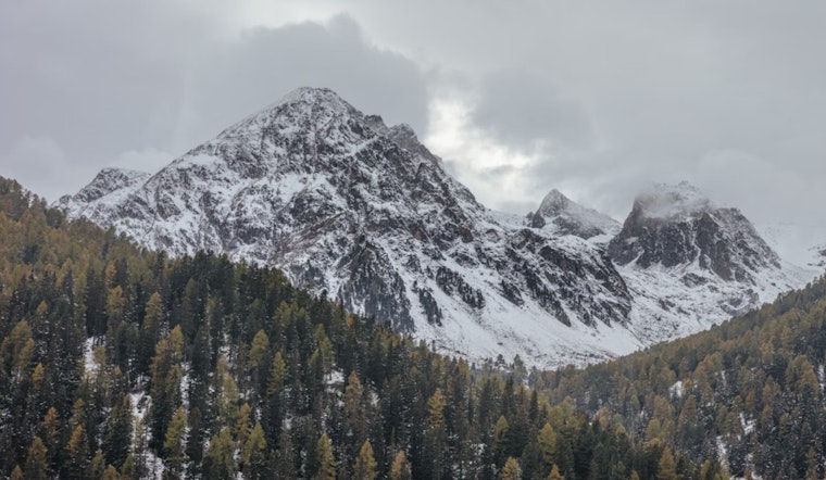
The National Weather Service in Sacramento advises that remnants of the latest weather system are clearing out, with morning showers and mountain snowfall tapering off and giving way to clearer skies throughout the day. However, mountain areas above 6,000 feet in the northern Sierra and southern Cascades remain under a Winter Weather Advisory until 11 a.m. today due to persisting conditions that could impact travel and outdoor activities.
As the weekend progresses, Californians should brace for a noticeable shift: the calm after the storm will give rise to a new challenge as gusty winds from the north to the east are expected to sweep through the region starting tomorrow and again on Wednesday. This creates potential fire weather concerns, which the NWS is closely monitoring, although this year's rainfall and cooler temperatures have been beneficial for fire prevention.
In the valley, temperatures are going to be a tad chilly with highs in the 60s over the weekend, then climbing into the low to mid 70s at the start of the work week, according to the National Weather Service. The foothills will see temperatures in the 50s and 60s, while mountain regions can expect highs ranging from the 40s to low 60s.
The extended forecast for Wednesday through Saturday indicates that high pressure off the West Coast and a low trough in the Great Basin will converge, resulting in drying northerly and easterly winds. Combined with lower humidity, this may lead to elevated fire weather potential, especially along the western half of the Sacramento Valley into the Coastal Range. Winds are expected to decrease by early Thursday, with dry weather and high temperatures near to slightly below normal for this time of year through the end of the week.
For aviation interests, variable conditions persist. In the Central Valley, local MVFR/IFR is possible until 18z today; otherwise, VFR conditions are expected. Over the foothills and mountains, areas of MVFR/IFR with local LIFR are possible until 20z today in -shra/-shsn, followed by isolated MVFR cigs until 00z tomorrow, as per the NWS. Surface winds should generally remain at or below 12 knots over the next 24 hours, with occasional westerly gusts up to 25 knots possible in mountain areas until early evening.


