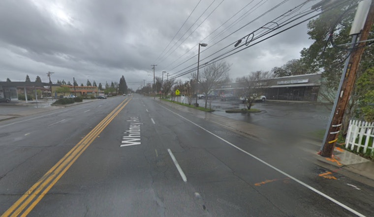
The National Weather Service in Sacramento has issued a slew of warnings as a strong atmospheric river set to batter interior NorCal, bringing with it a mix of moderate to heavy rain, mountain snow, isolated thunderstorms, and gusty southerly winds that are expected to persist through the weekend and into early next week. Given the severity of the incoming weather, residents across the region are bracing for potential flooding, disruptions in travel, and power outages in the wake of strong winds.
As per the NWS forecast, a Winter Storm Warning will be in place from 4 PM today until 4 PM Tuesday for elevations above 6000 feet along the Sierra and Southern Cascades, including major thoroughfares like Interstate 80 and Highway 50. This powerful system is anticipated to not only bring waves of heavy snowfall, but also to generate significant accumulations that could reach up to 5 feet on the highest peaks. It is also expected to significantly lower snow levels by early next week, contributing to potentially hazardous travel conditions in the mountains.
Alongside the snow, there is a Flood Watch through late tonight for several Valley locations and foothills – notably north of Interstate 80 and below 3000 feet – due to the threat of excessive runoff which could result in rapidly rising rivers and creeks. Moreover, southerly winds have been gusting 30 to 40 mph around the northeastern Sierra foothills and central Sacramento Valley, prompting a Wind Advisory in effect until 10 AM today for the aforementioned areas. Winds are anticipated to gradually weaken throughout the afternoon; however, gusts might persist in some parts of the region.
The persistent downpour also poses substantial risks for flooding across the Valley floor through early next week, with expectations of 1.50 to 4 inches of rain – heaviest over the Northern Sacramento Valley. According to the National Weather Service, "there is a 50-80% chance of totals greater than 3" from today to Monday afternoon." In addition, there's a slight chance of thunderstorms today, primarily from the Northern Sacramento Valley to the eastern portions of the Valley north of Interstate 80. As the tumultuous weather continues into next week, those with upcoming travel plans are urged to remain vigilant and to stay informed about ever-changing conditions.
A brief respite might be on the horizon towards the middle of next week as the forecast hints at possible drier conditions leading into Thanksgiving. However, travelers and residents should continue to closely monitor updates, and anyone planning to venture out during the holiday should confirm road conditions at quickmap.dot.ca.gov before embarking on any journeys.


