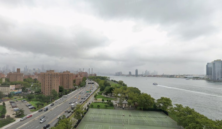
New Yorkers, brace yourselves for a bout of inclement weather sweeping across the boroughs, with forecasts predicting showers and possible thunderstorms in the coming days. Manhattan, Brooklyn, Queens, the Bronx, and Staten Island will all experience similar unsettled weather conditions.
The latest updates from the National Weather Service indicate that residents can expect "showers, mainly after 10pm" throughout the city, with "the rain could be heavy at times." Winds are also projected to drastically pick up alongside these conditions, posing potential challenges to unprepared locals. The chance of precipitation stands at a sure 100%, with "New precipitation amounts between 1 and 2 inches possible." Disconcertingly, Thursday's forecast doesn't promise any respite, as the weather is likely to intensify into "Showers and possibly a thunderstorm" with some storms having the potential to "produce heavy rainfall."
Amid these turbulent skies, the temperatures are set to hover in the comfortable, yet soggy, 50's across the boroughs. Manhattan is foresightedly seeing a high near 59 degrees today, whereas the Bronx is slightly cooler with a high near 58. Staten Island also predicts a high near 59 degrees, as does Queens, but Brooklyn anticipates an ever-so-slightly warmer day with temperatures peaking at around 59 degrees as well.
Capping off the inclement spell, the weekend should herald a shift to clearer skies. Residents may to finally see some respite with the chance of showers dropping to 40% by Friday night and "Partly sunny" conditions by Saturday. While the unsettling weather has captured the city's immediate attention, the National Weather Service's Hazardous Weather Outlook has flagged a different concern, warning of "Coastal Flood Advisory in effect from 1 PM to 5 PM EST Thursday," urging residents in affected areas to stay informed and appropriately prepared. Although spotters are not expected to activate at this time, everyone is encouraged to keep an ear to NOAA Weather Radio or check for updates on the latest forecasts online for further details on these developing weather conditions.


