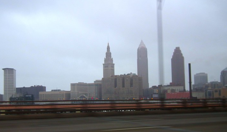
As Cleveland braces for a mix of weather patterns, the National Weather Service in Cleveland gives us a heads-up on what to expect in the coming days. Today's forecast is brought to you with overcast skies courtesy of a weak high-pressure system gliding over the Ohio Valley. The tranquil conditions won't last long, though, as a low-pressure system is primed to roll through from the Mississippi Valley to the Great Lakes by Monday. According to the NWS discussion, "Scattered rain showers will move start to move in from the west during the morning. Likely POPs of rain showers will spread over the area Monday afternoon."
Those of you heading out might want to keep the umbrellas handy, as the short-term forecast provided by the National Weather Service indicates a front loading up on showers Monday night, followed by murky prospects of rain and potential snowflakes into Tuesday. The NWS notes an "upper level low with this system is going to signal the beginning of a longer period of predominant upper level troughing over the Great Lakes." Translation: get ready to bundle up as we head towards cooler temperatures.
Take heed to those interested in Lake Erie, for the maritime forecast calls out challenging conditions. With a cold front about to cleave through Lake Erie late Monday night, we’re looking at westerly winds up to 25-30kts and waves hitting the 6-9ft range in certain sections. Small Craft Advisories are already in place, ensuring that boaters know the waters will be rough out there.
Looking further out, Clevelanders should brace for what could be the chilliest air so far this season. The long-term forecast hints at a blend of rain and snow come midweek, with temperatures barely hovering above the freezing point. Those with a penchant for snowfall might have something to look forward to, as the NWS anticipates "a combination of upper-level troughs swinging through that will reinforce the cold air push into the southern Great Lakes and add a forcing mechanism for additional precipitation." If lake effect snow is your thing, keep a watchful eye on the skies starting Thursday night.
It seems Clevelanders are quite literally in for a whirlwind of weather patterns. So, sit tight, prep your winter wardrobe, and stay tuned for updates, as this dance between elements from the high skies to the rolling lake refuses to miss a beat.


.jpg)