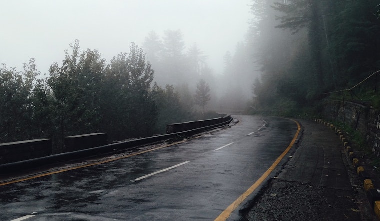
As the Sacramento braces for the holiday season, the weather rolls in with a bag mixed of foggy mornings and a promise of wetter times ahead. The National Weather Service in Sacramento reports continued dry weather conditions to round out the week, yet the skies plot a course for change. Fog is expected to keep visibility low until late morning, creating cautious commutes and picturesque landscapes shrouded in mist.
Fog is expected to extend as far north as Oroville. Despite its persistence, daytime temperatures in the valleys are likely to hover in the mid to upper 50s, a stark contrast to the sunny weather just days earlier. According to the NWS, the latest HREF indicates a more northerly spread of fog this morning, with an 80% probability of visibility dropping below half a mile from the Sacramento area north to Oroville. This shift challenges the typical northerly winds that usually keep fog at bay, allowing it to creep northward. Meanwhile, the foothills remain in the low to mid 60s, with higher elevations registering cooler temperatures.
For weekend warriors and last-minute shoppers, it's worth keeping an umbrella at hand as the region gears up for moderate rain and mountain snowfall starting Saturday. Travelers venturing into the Sierra may face snow levels between 6500 to 7500 feet and those unwelcome travel delays, as snow accumulations could peak at 3 inches. The valley should anticipate up to 0.5 inches of rain, with the northern Sacramento Valley and adjacent foothills potentially seeing higher totals.
Where the wind seldom sleeps, gusts in lower elevations could reach 20 to 30 mph, as per the NWS. The mountains, not to be outdone, could experience gusts up to 40 mph. The extended forecast continues this trend, predicting a series of wet weather events into next week. The NWS describes an 'unsettled pattern' marked by successive waves of precipitation from Sunday through Wednesday, with the potential for impactful snow by Tuesday afternoon, keeping holiday travelers on alert. Snow levels on Monday and early Tuesday are expected to remain above pass level, but by Tuesday afternoon, they may drop as colder air moves in, posing a potential challenge for those hoping for a white Christmas on the road.


